UN
205 Wash Lane
£ 72,500
Description
We don't have a Description for this property.
- Bedrooms
- 2
- Bathrooms
- 0
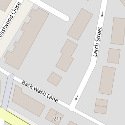
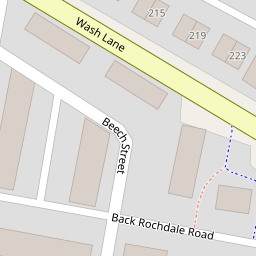


Leaflet © OpenStreetMap contributors
The heatmap indicates the level of crime in the area. The color of the heatmap indicates the crime severity and recency.
Metrics Year-on-Year
- Average area value
- 248,661.00 £Decreased by 6.33 %
- Average area rental value
- 943.00 £/moDecreased by 1.87 %
- Est rental Yield
- 4.55 %Increased by 4.84 %
- Crime Rate
- 92.00 %Unchanged by 0.00 %
from 265,463.00 £
from 961.00 £/mo
from 4.34 %
from 92.00 %
Nearby Schools
| Name | Type | Ofsted | Distance |
|---|---|---|---|
| East Ward Community Primary School | Academy Converter | 0.36 KM | |
| Bury East Children'S Centre Hub | Children's Centre | 0.41 KM | |
| St Thomas Church Of England Primary School | Academy Converter | 0.42 KM | |
| Hazel Wood High School | Academy Sponsor Led | 0.42 KM | |
| Hoyle Nursery School | Local Authority Nursery School | Outstanding | 0.83 KM |
Images
Nearby Streets
| Name | Average Price | Average Sqft | Distance |
|---|---|---|---|
| Elm Street | £ 0 | 0 | 0.00 KM |
| Back Elm Street | £ 0 | 0 | 0.00 KM |
| Back Cedar Street | £ 0 | 0 | 0.00 KM |
| Back Wash Lane South | £ 0 | 0 | 0.00 KM |
| Rowan Drive | £ 175,000 | 0 | 0.00 KM |
Nearby Transport
| Name | NLC | TLC | Distance |
|---|---|---|---|
| Clifton (Manchester) | 2795 | CLI | 8.86 KM |
Nearby Listings
| Address | Price | Type | Score | Distance |
|---|---|---|---|---|
| Elm Street, Bury | £ 135,000 | BUY | 4 / 10 | 0.04 KM |
| Elm Street, Bury, Greater Manchester, BL9 | £ 190,000 | BUY | Unknown | 0.08 KM |
| Wash Lane, Bury, BL9 | £ 159,950 | BUY | 7 / 10 | 0.08 KM |
| Wash Lane, Bury | £ 150,000 | BUY | 5 / 10 | 0.14 KM |
| Deal Street, Bury | £ 140,000 | BUY | 6 / 10 | 0.18 KM |
Nearby Properties
| Address | Price | Distance |
|---|---|---|
| 181 Wash Lane | £ 90,000 | 0.00 KM |
| 203 Wash Lane | £ 76,000 | 0.00 KM |
| 205 Wash Lane | £ 72,500 | 0.00 KM |
| 191 Wash Lane | £ 75,000 | 0.00 KM |
| 211 Wash Lane | £ 99,000 | 0.00 KM |