UN
7 Greyfriars
£ 156,500
Description
We don't have a Description for this property.
- Bedrooms
- 3
- Bathrooms
- 0
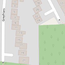
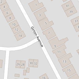
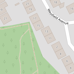

Leaflet © OpenStreetMap contributors
The heatmap indicates the level of crime in the area. The color of the heatmap indicates the crime severity and recency.
Metrics Year-on-Year
- Average area value
- 302,136.00 £Increased by 35.96 %
- Average area rental value
- 1,250.00 £/moIncreased by 58.23 %
- Est rental Yield
- 4.96 %Increased by 16.16 %
- Crime Rate
- 0.00 %
from 222,226.00 £
from 790.00 £/mo
from 4.27 %
from 0.00 %
Nearby Schools
| Name | Type | Ofsted | Distance |
|---|---|---|---|
| R L Hughes Primary School | Community School | Good | 0.54 KM |
| Cansfield High School | Community School | Good | 0.64 KM |
| St Oswald'S Catholic Primary School | Voluntary Aided School | Good | 1.06 KM |
| Nicol Mere School | Community School | Outstanding | 1.08 KM |
| Bryn Sure Start Children'S Centre | Children's Centre Linked Site | 1.14 KM |
Images
Nearby Streets
| Name | Average Price | Average Sqft | Distance |
|---|---|---|---|
| Westfield Avenue | £ 280,000 | 0 | 0.00 KM |
| Briar Close | £ 0 | 0 | 0.00 KM |
| Knowles Nook | £ 230,000 | 0 | 0.00 KM |
| Carlton Close | £ 0 | 0 | 0.00 KM |
| Crescent Avenue | £ 0 | 0 | 0.00 KM |
Nearby Transport
| Name | NLC | TLC | Distance |
|---|---|---|---|
| Bryn | 2222 | BYN | 1.04 KM |
| Garswood | 2335 | GSW | 2.44 KM |
| Earlestown | 2292 | ERL | 4.64 KM |
| Pemberton | 2403 | PEM | 4.92 KM |
| Newton-Le-Willows | 2257 | NLW | 5.84 KM |
Nearby Listings
| Address | Price | Type | Score | Distance |
|---|---|---|---|---|
| Greyfriars, Ashton-In-Makerfield, WN4 | £ 330,000 | BUY | 7 / 10 | 0.06 KM |
| Tenbury Drive, Ashton-In-Makerfield, WN4 | £ 250,000 | BUY | 6 / 10 | 0.13 KM |
| Low Bank Road, Ashton-in-Makerfield, Wigan, WN4 9RZ | £ 150,000 | BUY | 6 / 10 | 0.23 KM |
| Woodedge, Ashton-In-Makerfield, WN4 | £ 320,000 | BUY | 6 / 10 | 0.23 KM |
| Low Bank Road, Ashton-in-Makerfield, Wigan, WN4 9RZ | £ 150,000 | BUY | Unknown | 0.24 KM |
Nearby Properties
| Address | Price | Distance |
|---|---|---|
| 16 Greyfriars | £ 225,000 | 0.00 KM |
| 1 Greyfriars | £ 133,495 | 0.00 KM |
| 7 Greyfriars | £ 156,500 | 0.00 KM |
| 3 Girton Avenue | £ 168,000 | 0.10 KM |
| 16 Girton Avenue | £ 135,000 | 0.10 KM |