UN
3 Croydon Road
£ 92,500
Description
We don't have a Description for this property.
- Bedrooms
- 2
- Bathrooms
- 0

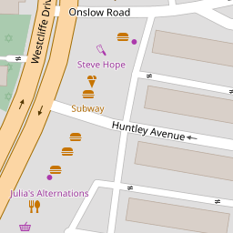
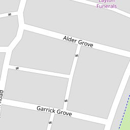

Leaflet © OpenStreetMap contributors
The heatmap indicates the level of crime in the area. The color of the heatmap indicates the crime severity and recency.
Metrics Year-on-Year
- Average area value
- 180,000.00 £Decreased by 46.31 %
- Average area rental value
- 1,025.00 £/moDecreased by 8.40 %
- Est rental Yield
- 6.83 %Increased by 70.32 %
- Crime Rate
- 18.00 %Unchanged by 0.00 %
from 335,277.00 £
from 1,119.00 £/mo
from 4.01 %
from 18.00 %
Nearby Schools
| Name | Type | Ofsted | Distance |
|---|---|---|---|
| Layton Children'S Centre | Children's Centre Linked Site | 0.20 KM | |
| Layton Primary School | Community School | Outstanding | 0.26 KM |
| Grange Park Children'S Centre | Children's Centre | 0.60 KM | |
| St Mary'S Catholic Academy | Academy Converter | Good | 0.82 KM |
| Christ The King Catholic Academy | Academy Converter | Good | 0.88 KM |
Images
Nearby Streets
| Name | Average Price | Average Sqft | Distance |
|---|---|---|---|
| Sherwood Avenue | £ 95,000 | 0 | 0.00 KM |
| Mansfield Road | £ 114,983 | 0 | 0.00 KM |
| Depot Road | £ 0 | 0 | 0.00 KM |
| Hillside Close | £ 0 | 0 | 0.00 KM |
| Regency Court | £ 0 | 0 | 0.00 KM |
Nearby Transport
| Name | NLC | TLC | Distance |
|---|---|---|---|
| Layton (Lancs) | 2669 | LAY | 0.81 KM |
| Blackpool North | 2739 | BPN | 2.41 KM |
| Blackpool South | 2740 | BPS | 3.99 KM |
| Poulton-Le-Fylde | 2671 | PFY | 4.74 KM |
| Blackpool Pleasure Beach | 2738 | BPB | 5.29 KM |
Nearby Listings
| Address | Price | Type | Score | Distance |
|---|---|---|---|---|
| Croydon Road, Blackpool, FY3 | £ 89,950 | BUY | 5 / 10 | 0.02 KM |
| Gisburn Grove, Blackpool, FY3 | £ 108,000 | BUY | 6 / 10 | 0.03 KM |
| Lyncroft Crescent, Blackpool, Lancashire, FY3 | £ 65,000 | BUY | 5 / 10 | 0.06 KM |
| Garrick Grove, Blackpool, FY3 | £ 85,000 | BUY | 6 / 10 | 0.07 KM |
| Wilford Street, Blackpool, FY3 | £ 90,000 | BUY | 6 / 10 | 0.10 KM |
Nearby Properties
| Address | Price | Distance |
|---|---|---|
| 9 Croydon Road | £ 65,000 | 0.00 KM |
| 19 Croydon Road | £ 91,600 | 0.00 KM |
| 3 Croydon Road | £ 92,500 | 0.00 KM |
| 21 Croydon Road | £ 92,000 | 0.00 KM |
| 17 Croydon Road | £ 67,500 | 0.00 KM |