UN
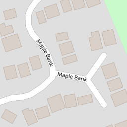
4 Maple Bank
£ 161,500
Description
We don't have a Description for this property.
- Bedrooms
- 3
- Bathrooms
- 0
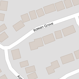
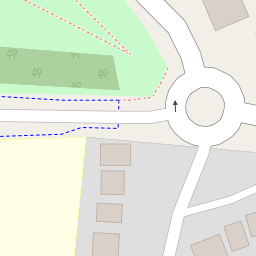

Leaflet © OpenStreetMap contributors
The heatmap indicates the level of crime in the area. The color of the heatmap indicates the crime severity and recency.
Metrics Year-on-Year
- Average area value
- 85,704.00 £Decreased by 9.45 %
- Average area rental value
- 535.00 £/moIncreased by 11.92 %
- Est rental Yield
- 7.49 %Increased by 23.60 %
- Crime Rate
- 3.00 %Unchanged by 0.00 %
from 94,651.00 £
from 478.00 £/mo
from 6.06 %
from 3.00 %
Nearby Schools
| Name | Type | Ofsted | Distance |
|---|---|---|---|
| Blessed Trinity Roman Catholic College, A Voluntary Academy | Academy Converter | 0.39 KM | |
| St Mary'S Roman Catholic Primary School, Burnley | Voluntary Aided School | Requires improvement | 0.56 KM |
| Basnett Street Nursery School | Local Authority Nursery School | Outstanding | 0.84 KM |
| Heasandford Primary School | Community School | Good | 0.93 KM |
| Ridgewood Community High School | Community Special School | Good | 1.21 KM |
Images
Nearby Streets
| Name | Average Price | Average Sqft | Distance |
|---|---|---|---|
| Browhead Road | £ 115,000 | 0 | 0.00 KM |
| Higgin Street | £ 0 | 0 | 0.00 KM |
| Lyndhurst Road | £ 0 | 0 | 0.00 KM |
| Saint Georges Square | £ 0 | 0 | 0.00 KM |
| Saint Cuthbert Street | £ 0 | 0 | 0.00 KM |
Nearby Transport
| Name | NLC | TLC | Distance |
|---|---|---|---|
| Burnley Central | 2550 | BNC | 2.17 KM |
| Burnley Manchester Road | 2549 | BYM | 2.78 KM |
| Brierfield | 2554 | BRF | 3.57 KM |
| Burnley Barracks | 2743 | BUB | 3.63 KM |
| Nelson | 2565 | NEL | 4.76 KM |
Nearby Listings
| Address | Price | Type | Score | Distance |
|---|---|---|---|---|
| Maple Bank, Burnley | £ 300,000 | BUY | Unknown | 0.04 KM |
| Rowan Grove, Burnley | £ 300,000 | BUY | 6 / 10 | 0.06 KM |
| Aspen Drive, Burnley, Lancashire, BB10 | £ 235,000 | BUY | 7 / 10 | 0.12 KM |
| Aspen Drive, Burnley | £ 230,000 | BUY | 7 / 10 | 0.17 KM |
| Brownhill Avenue, Burnley, BB10 | £ 124,950 | BUY | 6 / 10 | 0.22 KM |
Nearby Properties
| Address | Price | Distance |
|---|---|---|
| 8 Maple Bank | £ 170,000 | 0.00 KM |
| 5 Maple Bank | £ 300,000 | 0.00 KM |
| 33 Maple Bank | £ 145,000 | 0.00 KM |
| 31 Maple Bank | £ 160,000 | 0.00 KM |
| 4 Maple Bank | £ 161,500 | 0.00 KM |