UN
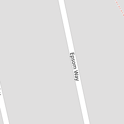
7 Epsom Way
£ 115,000
Description
We don't have a Description for this property.
- Bedrooms
- 3
- Bathrooms
- 0

Leaflet © OpenStreetMap contributors
The heatmap indicates the level of crime in the area. The color of the heatmap indicates the crime severity and recency.
Metrics Year-on-Year
- Average area value
- 454,920.00 £Increased by 26.48 %
- Average area rental value
- 1,293.00 £/moIncreased by 4.70 %
- Est rental Yield
- 3.41 %Decreased by 17.23 %
- Crime Rate
- 1.00 %Unchanged by 0.00 %
from 359,687.00 £
from 1,235.00 £/mo
from 4.12 %
from 1.00 %
Nearby Schools
| Name | Type | Ofsted | Distance |
|---|---|---|---|
| St Anne'S And St Joseph'S Roman Catholic Primary School | Voluntary Aided School | Requires improvement | 0.14 KM |
| Heathland Private School | Other Independent School | 0.19 KM | |
| Accrington Benjamin Hargreaves Voluntary Aided Church Of England Primary School | Voluntary Aided School | Good | 0.45 KM |
| Accrington Peel Park Primary School | Foundation School | Outstanding | 0.82 KM |
| Lee Royd Nursery School | Local Authority Nursery School | Good | 1.09 KM |
Images
Nearby Streets
| Name | Average Price | Average Sqft | Distance |
|---|---|---|---|
| Appleby CLose | £ 230,000 | 0 | 0.00 KM |
| Surrey Street | £ 0 | 0 | 0.00 KM |
| Airey Street | £ 0 | 0 | 0.00 KM |
| Oakhill Close | £ 0 | 0 | 0.00 KM |
| Granville Road | £ 390,000 | 0 | 0.00 KM |
Nearby Transport
| Name | NLC | TLC | Distance |
|---|---|---|---|
| Accrington | 2552 | ACR | 1.97 KM |
| Huncoat | 2558 | HCT | 2.40 KM |
| Church And Oswaldtwistle | 2556 | CTW | 4.34 KM |
| Hapton | 2557 | HPN | 5.18 KM |
| Rishton | 2580 | RIS | 7.68 KM |
Nearby Listings
| Address | Price | Type | Score | Distance |
|---|---|---|---|---|
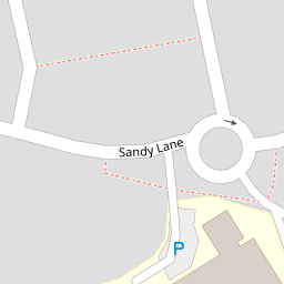
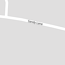
| Sandy Lane, Accrington | £ 160,000 | BUY | 7 / 10 | 0.06 KM |
| Sandy Lane, Accrington, Lancashire, BB5 | £ 165,000 | BUY | 5 / 10 | 0.11 KM |
| Leyburn Close, Accrington, Lancashire, BB5 | £ 310,000 | BUY | Unknown | 0.24 KM |
| Askrigg Close, Accrington, BB5 | £ 345,000 | BUY | Unknown | 0.27 KM |
| Limefield Street, Accrington | £ 160,000 | BUY | 6 / 10 | 0.40 KM |
Nearby Properties
| Address | Price | Distance |
|---|---|---|
| 7 Epsom Way | £ 115,000 | 0.00 KM |
| 5 Epsom Way | £ 145,000 | 0.00 KM |
| 11 Epsom Way | £ 125,000 | 0.00 KM |
| 21 Epsom Way | £ 136,000 | 0.00 KM |
| 19 Epsom Way | £ 92,500 | 0.00 KM |