UN
75 Bulk Road
£ 110,000
Description
We don't have a Description for this property.
- Bedrooms
- 3
- Bathrooms
- 0
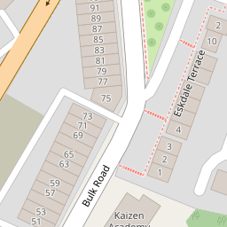
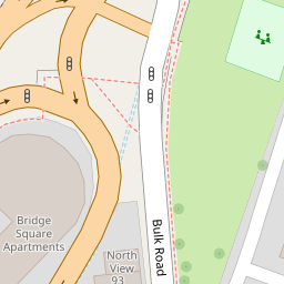
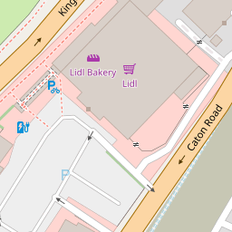
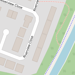
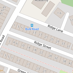
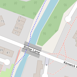

Leaflet © OpenStreetMap contributors
The heatmap indicates the level of crime in the area. The color of the heatmap indicates the crime severity and recency.
Metrics Year-on-Year
- Average area value
- 225,569.00 £Increased by 14.06 %
- Average area rental value
- 780.00 £/moIncreased by 84.40 %
- Est rental Yield
- 4.15 %Increased by 61.48 %
- Crime Rate
- 7.00 %Unchanged by 0.00 %
from 197,762.00 £
from 423.00 £/mo
from 2.57 %
from 7.00 %
Nearby Schools
| Name | Type | Ofsted | Distance |
|---|---|---|---|
| Firbank Children'S Centre | Children's Centre | 0.52 KM | |
| Chadwick High School | Pupil Referral Unit | Good | 0.63 KM |
| Castle View Primary | Academy Sponsor Led | 0.68 KM | |
| The Cathedral Catholic Primary School, Lancaster | Voluntary Aided School | Good | 0.81 KM |
| Lancaster Royal Grammar School | Academy Converter | 0.82 KM |
Images
Nearby Streets
| Name | Average Price | Average Sqft | Distance |
|---|---|---|---|
| Parliament Street | £ 0 | 0 | 0.00 KM |
| Mardale Road | £ 210,000 | 0 | 0.00 KM |
| Captains Row | £ 0 | 0 | 0.00 KM |
| Moor Lane | £ 135,000 | 0 | 0.00 KM |
| Kent Street | £ 145,000 | 0 | 0.00 KM |
Nearby Transport
| Name | NLC | TLC | Distance |
|---|---|---|---|
| Lancaster | 2685 | LAN | 1.70 KM |
| Bare Lane | 2690 | BAR | 5.21 KM |
| Morecambe | 2695 | MCM | 8.63 KM |
| Carnforth | 2640 | CNF | 8.76 KM |
Nearby Listings
| Address | Price | Type | Score | Distance |
|---|---|---|---|---|
| Bridge Square Apartments Kingsway | One Bedroom | £ 95,000 | BUY | Unknown | 0.08 KM |
| Kingsway, Lancaster, LA1 | £ 115,000 | BUY | 7 / 10 | 0.08 KM |
| Kingsway, Lancaster | £ 115,000 | BUY | 5 / 10 | 0.12 KM |
| Kingsway, Lancaster | £ 130,000 | BUY | 5 / 10 | 0.13 KM |
| Green Street, Lancaster | £ 185,000 | BUY | 5 / 10 | 0.19 KM |
Nearby Properties
| Address | Price | Distance |
|---|---|---|
| 31 Bulk Road | £ 110,000 | 0.00 KM |
| 85 Bulk Road | £ 90,000 | 0.00 KM |
| 35 Bulk Road | £ 134,000 | 0.00 KM |
| 69 Bulk Road | £ 120,000 | 0.00 KM |
| 75 Bulk Road | £ 110,000 | 0.00 KM |