UN
18 Moor Close
£ 55,950
Description
We don't have a Description for this property.
- Bedrooms
- 3
- Bathrooms
- 0
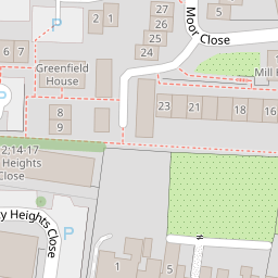
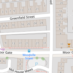
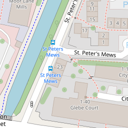
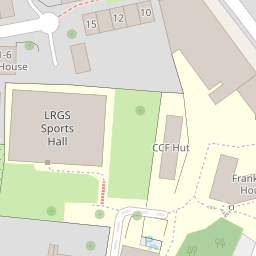

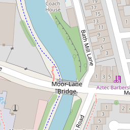
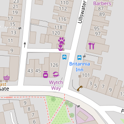


Leaflet © OpenStreetMap contributors
The heatmap indicates the level of crime in the area. The color of the heatmap indicates the crime severity and recency.
Metrics Year-on-Year
- Average area value
- 225,569.00 £Increased by 14.06 %
- Average area rental value
- 780.00 £/moIncreased by 84.40 %
- Est rental Yield
- 4.15 %Increased by 61.48 %
- Crime Rate
- 10.00 %Unchanged by 0.00 %
from 197,762.00 £
from 423.00 £/mo
from 2.57 %
from 10.00 %
Nearby Schools
| Name | Type | Ofsted | Distance |
|---|---|---|---|
| The Cathedral Catholic Primary School, Lancaster | Voluntary Aided School | Good | 0.16 KM |
| Lancaster Royal Grammar School | Academy Converter | 0.22 KM | |
| Firbank Children'S Centre | Children's Centre | 0.70 KM | |
| Bowerham Primary & Nursery School | Community School | Good | 0.80 KM |
| Castle View Primary | Academy Sponsor Led | 0.87 KM |
Images
Nearby Streets
| Name | Average Price | Average Sqft | Distance |
|---|---|---|---|
| Moor Lane | £ 135,000 | 0 | 0.00 KM |
| Robert Street | £ 0 | 0 | 0.00 KM |
| George Street | £ 0 | 0 | 0.00 KM |
| The Grove | £ 0 | 0 | 0.00 KM |
| Meadowside | £ 0 | 0 | 0.00 KM |
Nearby Transport
| Name | NLC | TLC | Distance |
|---|---|---|---|
| Lancaster | 2685 | LAN | 1.71 KM |
| Bare Lane | 2690 | BAR | 5.63 KM |
| Morecambe | 2695 | MCM | 8.90 KM |
| Carnforth | 2640 | CNF | 9.38 KM |
Nearby Listings
| Address | Price | Type | Score | Distance |
|---|---|---|---|---|
| Bath Street, Lancaster | £ 360,000 | BUY | Unknown | 0.09 KM |
| Williamson Road, Lancaster, LA1 | £ 165,000 | BUY | Unknown | 0.10 KM |
| 17 Greenfield Street, Lancaster, Lancashire, LA1 3QE | £ 180,000 | BUY | 5 / 10 | 0.13 KM |
| 23 Greenfield Street, Lancaster, Lancashire, LA1 3QE | £ 180,000 | BUY | 5 / 10 | 0.13 KM |
| Mill House Mews, Moorgate, Lancaster | £ 160,000 | BUY | 6 / 10 | 0.14 KM |
Nearby Properties
| Address | Price | Distance |
|---|---|---|
| 21 Moor Close | £ 115,000 | 0.00 KM |
| 4 Moor Close | £ 122,000 | 0.00 KM |
| 18 Moor Close | £ 55,950 | 0.00 KM |
| 3 Moor Close | £ 115,000 | 0.00 KM |
| 22 Moor Close | £ 109,000 | 0.00 KM |