UN
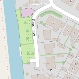
5 Bank Close
£ 194,500
Description
We don't have a Description for this property.
- Bedrooms
- 3
- Bathrooms
- 0
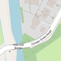
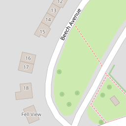

Leaflet © OpenStreetMap contributors
The heatmap indicates the level of crime in the area. The color of the heatmap indicates the crime severity and recency.
Metrics Year-on-Year
- Average area value
- 407,139.00 £Decreased by 4.00 %
- Average area rental value
- 1,723.00 £/moIncreased by 16.11 %
- Est rental Yield
- 5.08 %Increased by 20.95 %
- Crime Rate
- 24.00 %Unchanged by 0.00 %
from 424,119.00 £
from 1,484.00 £/mo
from 4.20 %
from 24.00 %
Nearby Schools
| Name | Type | Ofsted | Distance |
|---|---|---|---|
| Galgate Children'S Centre | Children's Centre Linked Site | 1.10 KM | |
| Ellel St John The Evangelist Church Of England Primary School | Voluntary Aided School | Good | 1.12 KM |
| University Of Lancaster | Higher Education Institutions | 2.34 KM | |
| Cockerham Parochial Cofe Primary School | Voluntary Aided School | Good | 4.00 KM |
| Scotforth St Paul'S Church Of England Primary And Nursery School | Voluntary Aided School | Outstanding | 4.40 KM |
Images
Nearby Streets
| Name | Average Price | Average Sqft | Distance |
|---|---|---|---|
| Ashley Gardens | £ 299,950 | 0 | 0.00 KM |
Nearby Transport
| Name | NLC | TLC | Distance |
|---|---|---|---|
| Lancaster | 2685 | LAN | 6.34 KM |
Nearby Listings
| Address | Price | Type | Score | Distance |
|---|---|---|---|---|
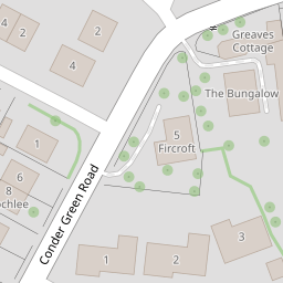
| Conder Green Road, Conder Green, Lancaster | £ 249,950 | BUY | Unknown | 0.07 KM |
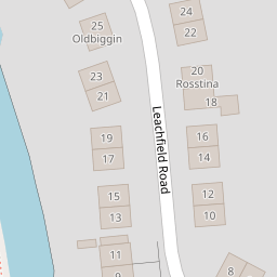
| Leachfield Road, Galgate | Stunning Canal Side Home | £ 375,000 | BUY | Unknown | 0.12 KM |
| Leachfield Road, Galgate, Lancaster, Lancashire, LA2 | £ 375,000 | BUY | Unknown | 0.12 KM |
| Rose Grove, Galgate, Lancaster | £ 250,000 | BUY | Unknown | 0.20 KM |
| Rose Grove, Galgate, LA2 | £ 250,000 | BUY | Unknown | 0.21 KM |
Nearby Properties
| Address | Price | Distance |
|---|---|---|
| 3 Bank Close | £ 240,000 | 0.00 KM |
| 2 Bank Close | £ 235,000 | 0.00 KM |
| 1 Bank Close | £ 170,000 | 0.00 KM |
| 4 Bank Close | £ 49,500 | 0.00 KM |
| 5 Bank Close | £ 194,500 | 0.00 KM |