UN
6 The Roods
£ 264,000
Description
We don't have a Description for this property.
- Bedrooms
- 3
- Bathrooms
- 0
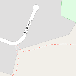
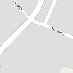

Leaflet © OpenStreetMap contributors
The heatmap indicates the level of crime in the area. The color of the heatmap indicates the crime severity and recency.
Metrics Year-on-Year
- Average area value
- 407,139.00 £Decreased by 4.00 %
- Average area rental value
- 1,723.00 £/moIncreased by 16.11 %
- Est rental Yield
- 5.08 %Increased by 20.95 %
- Crime Rate
- 11.00 %Unchanged by 0.00 %
from 424,119.00 £
from 1,484.00 £/mo
from 4.20 %
from 11.00 %
Nearby Schools
| Name | Type | Ofsted | Distance |
|---|---|---|---|
| Warton Archbishop Hutton'S Vc Primary School | Voluntary Controlled School | Good | 0.83 KM |
| Yealand Church Of England Primary School | Voluntary Aided School | Good | 2.41 KM |
| Our Lady Of Lourdes Catholic Primary School, Carnforth | Voluntary Aided School | Good | 2.42 KM |
| Carnforth Christ Church, Church Of England, Voluntary Aided Primary School | Voluntary Aided School | Good | 2.44 KM |
| Carnforth Community Primary School | Community School | Good | 2.53 KM |
Images
Nearby Streets
| Name | Average Price | Average Sqft | Distance |
|---|---|---|---|
| Briarscroft | £ 380,000 | 0 | 0.00 KM |
| Occupation Road | £ 1,000,000 | 0 | 0.00 KM |
| Carnforth Link Road | £ 162,475 | 0 | 0.00 KM |
| A6 | £ 131,537 | 0 | 0.00 KM |
| Mellings Place | £ 0 | 0 | 0.00 KM |
Nearby Transport
| Name | NLC | TLC | Distance |
|---|---|---|---|
| Carnforth | 2640 | CNF | 2.40 KM |
| Silverdale | 1968 | SVR | 5.27 KM |
| Arnside | 1963 | ARN | 9.54 KM |
Nearby Listings
| Address | Price | Type | Score | Distance |
|---|---|---|---|---|
| The Woodland, 175 Main Street, Warton, Carnforth | £ 475,000 | BUY | Unknown | 0.15 KM |
| 159 Main Street, Warton, LA5 9QF | £ 380,000 | BUY | 7 / 10 | 0.16 KM |
| Main Street, Warton, Carnforth, LA5 | £ 575,000 | BUY | 7 / 10 | 0.19 KM |
| Main Street, Warton, Carnforth | £ 450,000 | BUY | 5 / 10 | 0.20 KM |
| 85 Croftlands, Warton, LA5 9QE | £ 375,000 | BUY | 7 / 10 | 0.28 KM |
Nearby Properties
| Address | Price | Distance |
|---|---|---|
| 13 The Roods | £ 200,000 | 0.00 KM |
| 26 The Roods | £ 218,000 | 0.00 KM |
| 2 The Roods | £ 195,000 | 0.00 KM |
| 20 The Roods | £ 245,000 | 0.00 KM |
| 6 The Roods | £ 264,000 | 0.00 KM |