UN
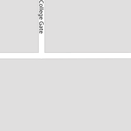
4 College Gate
£ 163,000
Description
We don't have a Description for this property.
- Bedrooms
- 3
- Bathrooms
- 0


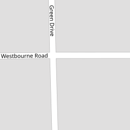

Leaflet © OpenStreetMap contributors
The heatmap indicates the level of crime in the area. The color of the heatmap indicates the crime severity and recency.
Metrics Year-on-Year
- Average area value
- 316,469.00 £Increased by 4.03 %
- Average area rental value
- 1,187.00 £/moDecreased by 16.23 %
- Est rental Yield
- 4.50 %Decreased by 19.50 %
- Crime Rate
- 3.00 %Unchanged by 0.00 %
from 304,200.00 £
from 1,417.00 £/mo
from 5.59 %
from 3.00 %
Nearby Schools
| Name | Type | Ofsted | Distance |
|---|---|---|---|
| Rossall School | Other Independent School | 0.51 KM | |
| Thornton Cleveleys Manor Beach Primary School | Community School | Requires improvement | 1.05 KM |
| Cleveleys Children'S Centre | Children's Centre Linked Site | 1.25 KM | |
| Larkholme Primary School | Community School | Good | 1.41 KM |
| Northfold Community Primary School | Community School | Good | 1.43 KM |
Images
Nearby Streets
| Name | Average Price | Average Sqft | Distance |
|---|---|---|---|
| Shaftesbury Avenue | £ 185,000 | 0 | 0.00 KM |
| King's Walk | £ 152,467 | 0 | 0.00 KM |
| Fairhurst Court | £ 0 | 0 | 0.00 KM |
| Holme Avenue | £ 270,000 | 0 | 0.00 KM |
| Princess Road | £ 0 | 0 | 0.00 KM |
Nearby Transport
| Name | NLC | TLC | Distance |
|---|---|---|---|
| Layton (Lancs) | 2669 | LAY | 6.47 KM |
| Poulton-Le-Fylde | 2671 | PFY | 7.63 KM |
| Blackpool North | 2739 | BPN | 7.78 KM |
Nearby Listings
| Address | Price | Type | Score | Distance |
|---|---|---|---|---|
| Green Drive, Cleveleys, FY5 | £ 210,000 | BUY | 6 / 10 | 0.15 KM |
| Westbourne Road, Cleveleys, FY5 | £ 400,000 | BUY | 7 / 10 | 0.16 KM |
| Westbourne Road, Thornton-Cleveleys, FY5 | £ 165,000 | BUY | 6 / 10 | 0.16 KM |
| Shaftesbury Avenue, Thornton-Cleveleys, Lancashire, FY5 | £ 185,000 | BUY | Unknown | 0.19 KM |
| Westbourne Road, Cleveleys, FY5 | £ 250,000 | BUY | Unknown | 0.20 KM |
Nearby Properties
| Address | Price | Distance |
|---|---|---|
| 6 College Gate | £ 155,000 | 0.00 KM |
| 1 College Gate | £ 110,000 | 0.00 KM |
| 7 College Gate | £ 157,000 | 0.00 KM |
| 4 College Gate | £ 163,000 | 0.00 KM |
| 11 Osborne Grove | £ 140,000 | 0.12 KM |