UN
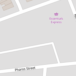
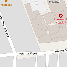
40 Pharos Street
£ 64,500
Description
We don't have a Description for this property.
- Bedrooms
- 2
- Bathrooms
- 0

Leaflet © OpenStreetMap contributors
The heatmap indicates the level of crime in the area. The color of the heatmap indicates the crime severity and recency.
Metrics Year-on-Year
- Average area value
- 106,942.00 £Decreased by 16.63 %
- Average area rental value
- 660.00 £/moIncreased by 2.17 %
- Est rental Yield
- 7.41 %Increased by 22.68 %
- Crime Rate
- 86.00 %Unchanged by 0.00 %
from 128,275.00 £
from 646.00 £/mo
from 6.04 %
from 86.00 %
Nearby Schools
| Name | Type | Ofsted | Distance |
|---|---|---|---|
| St Mary'S Catholic Primary School, Fleetwood | Voluntary Aided School | Good | 0.41 KM |
| Sure Start Fleetwood Children'S Centre | Children's Centre | 0.45 KM | |
| Fleetwood Chaucer Community Primary School | Community School | Requires improvement | 0.99 KM |
| Shakespeare Primary School | Community School | Outstanding | 2.20 KM |
| St Wulstan'S And St Edmund'S Catholic Primary School And Nursery | Voluntary Aided School | Requires improvement | 2.60 KM |
Images
Nearby Streets
| Name | Average Price | Average Sqft | Distance |
|---|---|---|---|
| Darbishire Road | £ 350,000 | 0 | 0.00 KM |
| Deepdale Road | £ 84,950 | 0 | 0.00 KM |
| Wayside | £ 0 | 0 | 0.00 KM |
| Greenway | £ 0 | 0 | 0.00 KM |
Nearby Transport
| Name | NLC | TLC | Distance |
|---|---|---|---|
| Poulton-Le-Fylde | 2671 | PFY | 8.96 KM |
Nearby Listings
| Address | Price | Type | Score | Distance |
|---|---|---|---|---|
| Pharos Street, Fleetwood, FY7 | £ 180,000 | BUY | 5 / 10 | 0.00 KM |
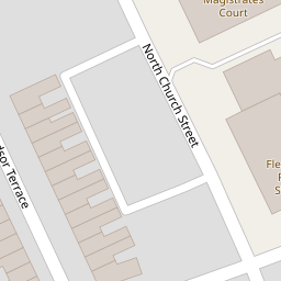
| North Church Street, Fleetwood, Lancashire, FY7 6HJ | £ 95,000 | BUY | 5 / 10 | 0.03 KM |
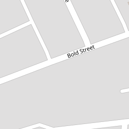
| Bold Street, Fleetwood, Lancashire | £ 275,000 | BUY | 5 / 10 | 0.05 KM |
| 95 Bold Street, Fleetwood, Lancashire FY7 6HL | £ 135,000 | BUY | 5 / 10 | 0.08 KM |
| North Street, Fleetwood, FY7 | £ 99,950 | BUY | 7 / 10 | 0.08 KM |
Nearby Properties
| Address | Price | Distance |
|---|---|---|
| 64 Pharos Street | £ 80,000 | 0.00 KM |
| 62 Pharos Street | £ 95,000 | 0.00 KM |
| 53 Pharos Street | £ 54,950 | 0.00 KM |
| 58 Pharos Street | £ 83,000 | 0.00 KM |
| 40 Pharos Street | £ 64,500 | 0.00 KM |