UN
8 The Heathers
£ 187,000
Description
We don't have a Description for this property.
- Bedrooms
- 3
- Bathrooms
- 0
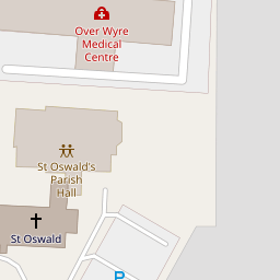

Leaflet © OpenStreetMap contributors
The heatmap indicates the level of crime in the area. The color of the heatmap indicates the crime severity and recency.
Metrics Year-on-Year
- Average area value
- 217,546.00 £Increased by 5.10 %
- Average area rental value
- 750.00 £/moIncreased by 20.77 %
- Est rental Yield
- 4.14 %Increased by 15.00 %
- Crime Rate
- 4.00 %Unchanged by 0.00 %
from 206,986.00 £
from 621.00 £/mo
from 3.60 %
from 4.00 %
Nearby Schools
| Name | Type | Ofsted | Distance |
|---|---|---|---|
| Preesall Fleetwood'S Charity Church Of England Primary School | Voluntary Aided School | Good | 1.88 KM |
| Saint Aidan'S Church Of England High School | Voluntary Aided School | Good | 2.10 KM |
| Carter'S Charity Voluntary Controlled Primary School, Preesall | Voluntary Controlled School | Good | 2.41 KM |
| Sure Start Fleetwood Children'S Centre | Children's Centre | 3.72 KM | |
| St Mary'S Catholic Primary School, Fleetwood | Voluntary Aided School | Good | 4.09 KM |
Images
Nearby Streets
| Name | Average Price | Average Sqft | Distance |
|---|---|---|---|
| Pinewood Avenue | £ 0 | 0 | 0.00 KM |
| St Bernard's Road | £ 237,475 | 0 | 0.00 KM |
| The Glen | £ 300,000 | 0 | 0.00 KM |
Nearby Transport
| Name | NLC | TLC | Distance |
|---|---|---|---|
| Poulton-Le-Fylde | 2671 | PFY | 9.02 KM |
Nearby Listings
| Address | Price | Type | Score | Distance |
|---|---|---|---|---|
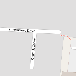
| Buttermere Drive, Knott End on Sea, FY6 | £ 130,000 | BUY | Unknown | 0.10 KM |
| Verbena Drive, Knott End on Sea, FY6 | £ 245,000 | BUY | 7 / 10 | 0.11 KM |
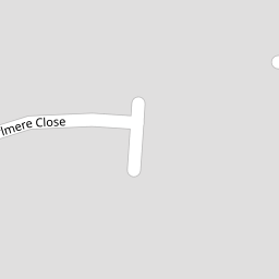
| Thirlmere Close, Poulton-le-Fylde, FY6 | £ 190,000 | BUY | 7 / 10 | 0.12 KM |
| Lancaster Road, Knott End-on-sea | £ 495,000 | BUY | 6 / 10 | 0.16 KM |
| Pilling Lane, Preesall, Poulton Le Fylde | £ 360,000 | BUY | Unknown | 0.16 KM |
Nearby Properties
| Address | Price | Distance |
|---|---|---|
| 2 The Heathers | £ 215,000 | 0.00 KM |
| 5 The Heathers | £ 180,000 | 0.00 KM |
| 9 The Heathers | £ 208,000 | 0.00 KM |
| 8 The Heathers | £ 187,000 | 0.00 KM |
| 10 The Heathers | £ 190,000 | 0.00 KM |