UN
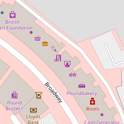
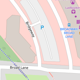
29a Broadway
£ 17,000
Description
We don't have a Description for this property.
- Bedrooms
- 2
- Bathrooms
- 0

Leaflet © OpenStreetMap contributors
The heatmap indicates the level of crime in the area. The color of the heatmap indicates the crime severity and recency.
Metrics Year-on-Year
- Average area value
- 282,843.00 £Decreased by 1.29 %
- Average area rental value
- 1,092.00 £/moDecreased by 6.75 %
- Est rental Yield
- 4.63 %Decreased by 5.51 %
- Crime Rate
- 13.00 %Unchanged by 0.00 %
from 286,535.00 £
from 1,171.00 £/mo
from 4.90 %
from 13.00 %
Nearby Schools
| Name | Type | Ofsted | Distance |
|---|---|---|---|
| Clubmoor & Ellergreen Children'S Centre | Children's Centre | 0.09 KM | |
| Peregrinate School | Other Independent School | Good | 0.23 KM |
| Wellesbourne Community Primary School | Community School | Good | 0.57 KM |
| St Matthew'S Catholic Primary School | Voluntary Aided School | Outstanding | 0.73 KM |
| Leamington Community Primary School | Community School | Good | 0.82 KM |
Images
Nearby Streets
| Name | Average Price | Average Sqft | Distance |
|---|---|---|---|
| Mildmay Road | £ 0 | 0 | 0.00 KM |
| Fairfax Road | £ 0 | 0 | 0.00 KM |
| Faversham Road | £ 110,000 | 0 | 0.00 KM |
| Lisburn Lane | £ 135,000 | 0 | 0.00 KM |
| Coleshill Road | £ 150,000 | 0 | 0.00 KM |
Nearby Transport
| Name | NLC | TLC | Distance |
|---|---|---|---|
| Fazakerley | 2126 | FAZ | 3.10 KM |
| Rice Lane | 2131 | RIL | 3.96 KM |
| Wavertree Technology Park | 8589 | WAV | 4.16 KM |
| Walton (Merseyside) | 2251 | WAO | 4.24 KM |
| Orrell Park | 2247 | OPK | 4.28 KM |
Nearby Listings
| Address | Price | Type | Score | Distance |
|---|---|---|---|---|
| Broad Lane, Liverpool, | £ 168,000 | BUY | 7 / 10 | 0.14 KM |
| Broad Lane, Norris Green, Liverpool, Merseyside, L11 | £ 155,000 | BUY | 6 / 10 | 0.21 KM |
| Strawberry Road, Liverpool, Merseyside, L11 | £ 160,000 | BUY | 5 / 10 | 0.36 KM |
| Wapshare Road, Liverpool, Merseyside, L11 | £ 150,000 | BUY | 6 / 10 | 0.42 KM |
| Wapshare Road, Liverpool, Merseyside, L11 | £ 190,000 | BUY | 8 / 10 | 0.42 KM |
Nearby Properties
| Address | Price | Distance |
|---|---|---|
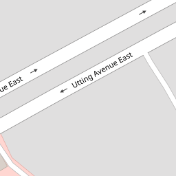
| 29a Broadway | £ 17,000 | 0.00 KM |
| 50 Utting Avenue East | £ 67,500 | 0.08 KM |
| 56 Utting Avenue East | £ 79,000 | 0.08 KM |
| 26 Utting Avenue East | £ 79,000 | 0.08 KM |
| 24 Broad Lane | £ 105,000 | 0.21 KM |