UN
3 Hare Croft
£ 110,000
Description
We don't have a Description for this property.
- Bedrooms
- 3
- Bathrooms
- 0
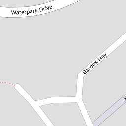
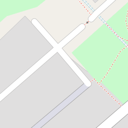
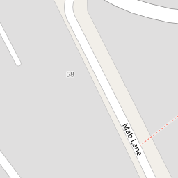

Leaflet © OpenStreetMap contributors
The heatmap indicates the level of crime in the area. The color of the heatmap indicates the crime severity and recency.
Metrics Year-on-Year
- Average area value
- 230,000.00 £Increased by 25.02 %
- Average area rental value
- 927.00 £/moIncreased by 9.45 %
- Est rental Yield
- 4.84 %Decreased by 12.32 %
- Crime Rate
- 6.00 %Unchanged by 0.00 %
from 183,967.00 £
from 847.00 £/mo
from 5.52 %
from 6.00 %
Nearby Schools
| Name | Type | Ofsted | Distance |
|---|---|---|---|
| Mab Lane Junior Mixed And Infant School | Community School | Good | 0.20 KM |
| Yew Tree Children'S Centre | Children's Centre | 0.86 KM | |
| St Albert'S Catholic Primary School | Voluntary Aided School | Good | 0.87 KM |
| St Brigid'S Catholic Primary School | Voluntary Aided School | Good | 1.11 KM |
| St Vincent'S School - A Specialist School For Sensory Impairment And Other Needs | Non-maintained Special School | Outstanding | 1.19 KM |
Images
Nearby Streets
| Name | Average Price | Average Sqft | Distance |
|---|---|---|---|
| Hare Croft | £ 110,000 | 0 | 0.00 KM |
| St Lukes Close | £ 0 | 0 | 0.00 KM |
| Rothbury Road | £ 0 | 0 | 0.00 KM |
| Yew Tree Close | £ 0 | 0 | 0.00 KM |
| Cabes Close | £ 0 | 0 | 0.00 KM |
Nearby Transport
| Name | NLC | TLC | Distance |
|---|---|---|---|
| Broad Green | 2240 | BGE | 3.68 KM |
| Roby | 2261 | ROB | 3.79 KM |
| Huyton | 2160 | HUY | 4.87 KM |
| Wavertree Technology Park | 8589 | WAV | 6.00 KM |
| Kirkby (Merseyside) | 2124 | KIR | 6.21 KM |
Nearby Listings
| Address | Price | Type | Score | Distance |
|---|---|---|---|---|
| Mab Lane, Liverpool, Merseyside, L12 | £ 180,000 | BUY | 7 / 10 | 0.13 KM |
| Mab Lane, West Derby, Merseyside, L12 | £ 160,000 | BUY | 6 / 10 | 0.16 KM |
| Feltwood Walk, Liverpool | £ 120,000 | BUY | Unknown | 0.20 KM |
| Feltwood Walk, Liverpool, L12 | £ 140,000 | BUY | 6 / 10 | 0.25 KM |
| Corner Brook, Liverpool, Merseyside, L28 | £ 190,000 | BUY | 6 / 10 | 0.31 KM |
Nearby Properties
| Address | Price | Distance |
|---|---|---|
| 3 Hare Croft | £ 110,000 | 0.00 KM |
| 2 Hare Croft | £ 50,000 | 0.00 KM |
| 221 Waterpark Drive | £ 85,000 | 0.08 KM |
| 211 Waterpark Drive | £ 81,000 | 0.10 KM |
| 209 Waterpark Drive | £ 140,000 | 0.10 KM |