UN
104 Mab Lane
£ 67,500
Description
We don't have a Description for this property.
- Bedrooms
- 3
- Bathrooms
- 0


Leaflet © OpenStreetMap contributors
The heatmap indicates the level of crime in the area. The color of the heatmap indicates the crime severity and recency.
Metrics Year-on-Year
- Average area value
- 224,279.00 £Increased by 8.85 %
- Average area rental value
- 1,190.00 £/moIncreased by 54.55 %
- Est rental Yield
- 6.37 %Increased by 42.19 %
- Crime Rate
- 9.00 %Unchanged by 0.00 %
from 206,036.00 £
from 770.00 £/mo
from 4.48 %
from 9.00 %
Nearby Schools
| Name | Type | Ofsted | Distance |
|---|---|---|---|
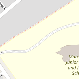
| Mab Lane Junior Mixed And Infant School | Community School | Good | 0.14 KM |
| Yew Tree Children'S Centre | Children's Centre | 0.52 KM | |
| St Albert'S Catholic Primary School | Voluntary Aided School | Good | 0.96 KM |
| St Brigid'S Catholic Primary School | Voluntary Aided School | Good | 0.96 KM |
| St Vincent'S School - A Specialist School For Sensory Impairment And Other Needs | Non-maintained Special School | Outstanding | 1.01 KM |
Images
Nearby Streets
| Name | Average Price | Average Sqft | Distance |
|---|---|---|---|
| St Lukes Close | £ 0 | 0 | 0.00 KM |
| Hare Croft | £ 110,000 | 0 | 0.00 KM |
| Rothbury Road | £ 0 | 0 | 0.00 KM |
| Yew Tree Close | £ 0 | 0 | 0.00 KM |
| Ruscombe Road | £ 145,000 | 0 | 0.00 KM |
Nearby Transport
| Name | NLC | TLC | Distance |
|---|---|---|---|
| Broad Green | 2240 | BGE | 3.46 KM |
| Roby | 2261 | ROB | 3.48 KM |
| Huyton | 2160 | HUY | 4.59 KM |
| Wavertree Technology Park | 8589 | WAV | 5.93 KM |
| Kirkby (Merseyside) | 2124 | KIR | 6.55 KM |
Nearby Listings
| Address | Price | Type | Score | Distance |
|---|---|---|---|---|
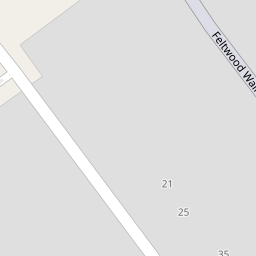
| Mab Lane, Liverpool | £ 200,000 | BUY | 6 / 10 | 0.12 KM |
| Corner Brook, Liverpool, Merseyside, L28 | £ 190,000 | BUY | 6 / 10 | 0.17 KM |
| Princess Drive, Liverpool, Merseyside, L12 | £ 95,000 | BUY | 6 / 10 | 0.39 KM |
| Rothbury Road, Liverpool, Merseyside, L14 | £ 110,000 | BUY | 7 / 10 | 0.40 KM |
| Mab Lane, West Derby, Merseyside, L12 | £ 160,000 | BUY | 6 / 10 | 0.42 KM |
Nearby Properties
| Address | Price | Distance |
|---|---|---|
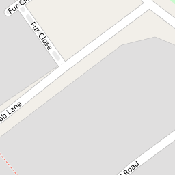
| 102 Mab Lane | £ 110,000 | 0.00 KM |
| 98 Mab Lane | £ 34,000 | 0.00 KM |
| 104 Mab Lane | £ 67,500 | 0.00 KM |
| 88 Mab Lane | £ 107,000 | 0.00 KM |
| 85 Mab Lane | £ 125,000 | 0.14 KM |