UN
3 Rookery Road
£ 340,000
Description
We don't have a Description for this property.
- Bedrooms
- 3
- Bathrooms
- 0
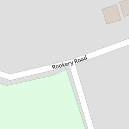
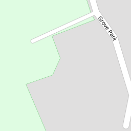

Leaflet © OpenStreetMap contributors
The heatmap indicates the level of crime in the area. The color of the heatmap indicates the crime severity and recency.
Metrics Year-on-Year
- Average area value
- 213,571.00 £Decreased by 10.43 %
- Average area rental value
- 998.00 £/moIncreased by 48.07 %
- Est rental Yield
- 5.61 %Increased by 65.49 %
- Crime Rate
- 3.00 %Unchanged by 0.00 %
from 238,437.00 £
from 674.00 £/mo
from 3.39 %
from 3.00 %
Nearby Schools
| Name | Type | Ofsted | Distance |
|---|---|---|---|
| Holy Family Catholic Primary School | Voluntary Aided School | Good | 0.76 KM |
| Norwood Primary School | Community School | Good | 0.81 KM |
| St Patrick'S Catholic Primary School | Voluntary Aided School | Outstanding | 1.32 KM |
| Bishop David Sheppard Children'S Centre | Children's Centre Linked Site | 1.54 KM | |
| Stanley High School | Academy Sponsor Led | Good | 1.63 KM |
Images
Nearby Streets
| Name | Average Price | Average Sqft | Distance |
|---|---|---|---|
| Beresford Drive | £ 295,000 | 0 | 0.00 KM |
| Montrose Drive | £ 276,590 | 0 | 0.00 KM |
| Carisbrooke Drive | £ 0 | 0 | 0.00 KM |
| Darwin Court | £ 0 | 0 | 0.00 KM |
| Churchgate Mews | £ 0 | 0 | 0.00 KM |
Nearby Transport
| Name | NLC | TLC | Distance |
|---|---|---|---|
| Meols Cop | 2357 | MEC | 0.97 KM |
| Southport | 2262 | SOP | 2.99 KM |
| Birkdale | 2352 | BDL | 4.77 KM |
| Hillside | 2231 | HIL | 6.44 KM |
| Bescar Lane | 2351 | BES | 7.70 KM |
Nearby Listings
| Address | Price | Type | Score | Distance |
|---|---|---|---|---|
| Henley Drive, Churchtown, Southport, Merseyside, PR9 7JU | £ 549,999 | BUY | 7 / 10 | 0.08 KM |
| Rookery Road, Southport, Merseyside, PR9 | £ 1,000,000 | BUY | 8 / 10 | 0.10 KM |
| Rookery Road, Southport | £ 375,000 | BUY | Unknown | 0.12 KM |
| Henley Drive, Hesketh Park, Southport, PR9 | £ 425,000 | BUY | 7 / 10 | 0.14 KM |
| Rawlinson Road, Hesketh Park, Southport, PR9 | £ 475,000 | BUY | 6 / 10 | 0.23 KM |
Nearby Properties
| Address | Price | Distance |
|---|---|---|
| 9 Rookery Road | £ 450,000 | 0.00 KM |
| 3 Rookery Road | £ 340,000 | 0.00 KM |
| 5 Rookery Road | £ 288,000 | 0.00 KM |
| 42 Rookery Road | £ 170,000 | 0.00 KM |
| 16 Rookery Road | £ 305,000 | 0.00 KM |