UN
8 Sandheys Grove
£ 122,000
Description
We don't have a Description for this property.
- Bedrooms
- 3
- Bathrooms
- 0


Leaflet © OpenStreetMap contributors
The heatmap indicates the level of crime in the area. The color of the heatmap indicates the crime severity and recency.
Metrics Year-on-Year
- Average area value
- 261,822.00 £Decreased by 14.93 %
- Average area rental value
- 1,072.00 £/moIncreased by 3.57 %
- Est rental Yield
- 4.91 %Increased by 21.53 %
- Crime Rate
- 10.00 %Unchanged by 0.00 %
from 307,765.00 £
from 1,035.00 £/mo
from 4.04 %
from 10.00 %
Nearby Schools
| Name | Type | Ofsted | Distance |
|---|---|---|---|
| St Edmund'S And St Thomas' Catholic Primary School | Voluntary Aided School | Good | 0.57 KM |
| St John'S Church Of England Primary School | Voluntary Aided School | Good | 0.68 KM |
| St Nicholas Church Of England Primary School | Voluntary Aided School | Outstanding | 0.91 KM |
| Ursuline Catholic Primary School | Voluntary Aided School | Good | 1.23 KM |
| Merchant Taylors' Boys' School | Other Independent School | 1.40 KM |
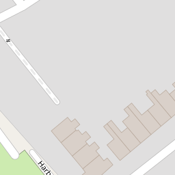
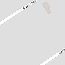
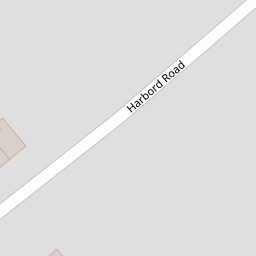
Images
Nearby Streets
| Name | Average Price | Average Sqft | Distance |
|---|---|---|---|
| Pine Grove | £ 280,000 | 0 | 0.00 KM |
| St. Johns Court | £ 0 | 0 | 0.00 KM |
| St Johns Place | £ 235,000 | 0 | 0.00 KM |
| Sand Dune Close | £ 785,000 | 0 | 0.00 KM |
| Hyde Road | £ 375,000 | 0 | 0.00 KM |
Nearby Transport
| Name | NLC | TLC | Distance |
|---|---|---|---|
| Blundellsands And Crosby | 2123 | BLN | 1.02 KM |
| Waterloo (Merseyside) | 2133 | WLO | 1.32 KM |
| Hall Road | 2229 | HLR | 2.50 KM |
| Seaforth And Litherland | 2250 | SFL | 3.73 KM |
| New Brighton | 2152 | NBN | 4.79 KM |
Nearby Listings
| Address | Price | Type | Score | Distance |
|---|---|---|---|---|
| Sandheys Avenue, Liverpool, Merseyside, L22 | £ 310,000 | BUY | 6 / 10 | 0.06 KM |
| Lulworth Avenue, Waterloo, Merseyside, L22 | £ 200,000 | BUY | 6 / 10 | 0.09 KM |
| Brooke Road West, Brighton-Le-Sands, Liverpool | £ 550,000 | BUY | Unknown | 0.12 KM |
| Oxford Drive, Waterloo, Liverpool | £ 550,000 | BUY | 8 / 10 | 0.12 KM |
| Oxford Road, Liverpool, L22 | £ 350,000 | BUY | 7 / 10 | 0.14 KM |
Nearby Properties
| Address | Price | Distance |
|---|---|---|
| 4 Sandheys Grove | £ 121,000 | 0.00 KM |
| 11 Sandheys Grove | £ 156,000 | 0.00 KM |
| 10 Sandheys Grove | £ 132,000 | 0.00 KM |
| 7 Sandheys Grove | £ 205,000 | 0.00 KM |
| 8 Sandheys Grove | £ 122,000 | 0.00 KM |