UN
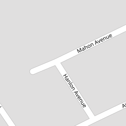
10 Mahon Avenue
£ 79,950
Description
We don't have a Description for this property.
- Bedrooms
- 3
- Bathrooms
- 0

Leaflet © OpenStreetMap contributors
The heatmap indicates the level of crime in the area. The color of the heatmap indicates the crime severity and recency.
Metrics Year-on-Year
- Average area value
- 219,135.00 £Increased by 22.32 %
- Average area rental value
- 738.00 £/moIncreased by 26.15 %
- Est rental Yield
- 4.04 %Increased by 3.06 %
- Crime Rate
- 10.00 %Unchanged by 0.00 %
from 179,142.00 £
from 585.00 £/mo
from 3.92 %
from 10.00 %
Nearby Schools
| Name | Type | Ofsted | Distance |
|---|---|---|---|
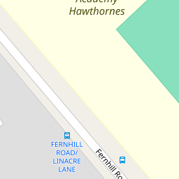
| King'S Leadership Academy Hawthornes | Free Schools | Requires improvement | 0.18 KM |
| Greenacre Community Nursery School | Local Authority Nursery School | Good | 0.29 KM |
| Springwell Park Children'S Centre | Children's Centre | 0.46 KM | |
| Springwell Park Community Primary School | Community School | Good | 0.46 KM |
| St Robert Bellarmine Catholic Primary School | Voluntary Aided School | Outstanding | 0.74 KM |
Images
Nearby Streets
| Name | Average Price | Average Sqft | Distance |
|---|---|---|---|
| Spencer Place | £ 150,000 | 0 | 0.00 KM |
| Essex Way | £ 0 | 0 | 0.00 KM |
| Smith Drive | £ 145,000 | 0 | 0.00 KM |
| Oak Street | £ 0 | 0 | 0.00 KM |
| Moss Lane | £ 215,000 | 0 | 0.00 KM |
Nearby Transport
| Name | NLC | TLC | Distance |
|---|---|---|---|
| Bootle New Strand | 2195 | BNW | 1.56 KM |
| Walton (Merseyside) | 2251 | WAO | 2.04 KM |
| Bootle Oriel Road | 2239 | BOT | 2.17 KM |
| Orrell Park | 2247 | OPK | 2.21 KM |
| Kirkdale | 2245 | KKD | 2.33 KM |
Nearby Listings
| Address | Price | Type | Score | Distance |
|---|---|---|---|---|
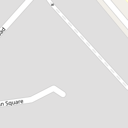
| Grogan Square, Bootle, Merseyside, L20 | £ 125,000 | BUY | Unknown | 0.03 KM |
| Fernhill Road, Bootle | £ 125,000 | BUY | 6 / 10 | 0.11 KM |
| Mary Road, Liverpool, Merseyside, L20 | £ 234,950 | BUY | 7 / 10 | 0.30 KM |
| Fernhill Road, Bootle, Merseyside, L20 | £ 125,000 | BUY | Unknown | 0.39 KM |
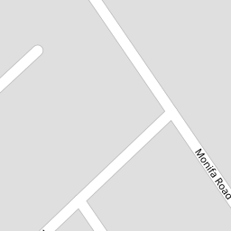
| Monfa Road, Litherland, Merseyside, L20 | £ 200,000 | BUY | 6 / 10 | 0.41 KM |
Nearby Properties
| Address | Price | Distance |
|---|---|---|
| 10 Mahon Avenue | £ 79,950 | 0.00 KM |
| 9 Mahon Avenue | £ 110,000 | 0.00 KM |
| 16 Grogan Square | £ 66,000 | 0.04 KM |
| 22 Grogan Square | £ 52,000 | 0.04 KM |
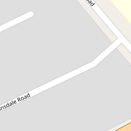
| 2 Ainsdale Road | £ 106,000 | 0.08 KM |