UN
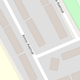
31 Amos Avenue
£ 77,000
Description
We don't have a Description for this property.
- Bedrooms
- 2
- Bathrooms
- 0

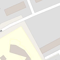

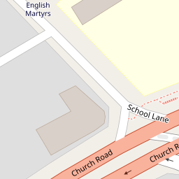
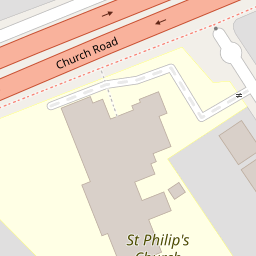

Leaflet © OpenStreetMap contributors
The heatmap indicates the level of crime in the area. The color of the heatmap indicates the crime severity and recency.
Metrics Year-on-Year
- Average area value
- 309,773.00 £Increased by 11.69 %
- Average area rental value
- 1,115.00 £/moIncreased by 23.89 %
- Est rental Yield
- 4.32 %Increased by 11.05 %
- Crime Rate
- 5.00 %Unchanged by 0.00 %
from 277,346.00 £
from 900.00 £/mo
from 3.89 %
from 5.00 %
Nearby Schools
| Name | Type | Ofsted | Distance |
|---|---|---|---|
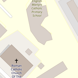
| English Martyrs' Catholic Primary School | Voluntary Aided School | Good | 0.10 KM |
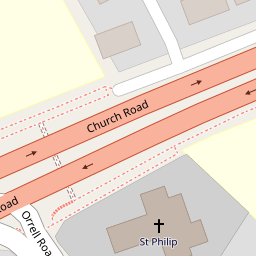
| St Philip'S Church Of England Controlled Primary School | Voluntary Controlled School | Good | 0.23 KM |
| St Elizabeth'S Catholic Primary School | Voluntary Aided School | Good | 0.96 KM |
| Hatton Hill Primary School | Community School | Good | 1.04 KM |
| Lander Road Primary School | Community School | Good | 1.06 KM |
Images
Nearby Streets
| Name | Average Price | Average Sqft | Distance |
|---|---|---|---|
| Moss Lane | £ 165,000 | 0 | 0.00 KM |
| Oxford Avenue | £ 0 | 0 | 0.00 KM |
| Selsey Road | £ 0 | 0 | 0.00 KM |
| Wood Street | £ 145,000 | 0 | 0.00 KM |
| Spencer Place | £ 150,000 | 0 | 0.00 KM |
Nearby Transport
| Name | NLC | TLC | Distance |
|---|---|---|---|
| Seaforth And Litherland | 2250 | SFL | 1.34 KM |
| Bootle New Strand | 2195 | BNW | 2.08 KM |
| Bootle Oriel Road | 2239 | BOT | 2.83 KM |
| Waterloo (Merseyside) | 2133 | WLO | 3.39 KM |
| Orrell Park | 2247 | OPK | 3.69 KM |
Nearby Listings
| Address | Price | Type | Score | Distance |
|---|---|---|---|---|
| Amos Avenue, Liverpool, L21 | £ 170,000 | BUY | Unknown | 0.01 KM |
| Soma Avenue, Litherland, Merseyside, L21 | £ 160,000 | BUY | 6 / 10 | 0.09 KM |
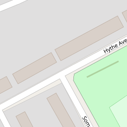
| Hythe Avenue, Liverpool, Merseyside, L21 | £ 200,000 | BUY | 7 / 10 | 0.15 KM |
| Moss Lane, Litherland, Liverpool, Merseyside, L21 | £ 165,000 | BUY | Unknown | 0.15 KM |
| Church Road, Litherland, Liverpool, Merseyside, L21 | £ 240,000 | BUY | Unknown | 0.17 KM |
Nearby Properties
| Address | Price | Distance |
|---|---|---|
| 9 Amos Avenue | £ 103,000 | 0.00 KM |
| 13 Amos Avenue | £ 105,000 | 0.00 KM |
| 18 Amos Avenue | £ 107,000 | 0.00 KM |
| 6 Amos Avenue | £ 137,000 | 0.00 KM |
| 31 Amos Avenue | £ 77,000 | 0.00 KM |