UN
8 Highfield Road
£ 123,000
Description
We don't have a Description for this property.
- Bedrooms
- 2
- Bathrooms
- 0
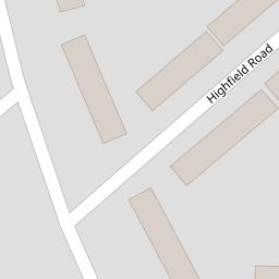

Leaflet © OpenStreetMap contributors
The heatmap indicates the level of crime in the area. The color of the heatmap indicates the crime severity and recency.
Metrics Year-on-Year
- Average area value
- 309,773.00 £Increased by 11.69 %
- Average area rental value
- 1,115.00 £/moIncreased by 23.89 %
- Est rental Yield
- 4.32 %Increased by 11.05 %
- Crime Rate
- 3.00 %Unchanged by 0.00 %
from 277,346.00 £
from 900.00 £/mo
from 3.89 %
from 3.00 %
Nearby Schools
| Name | Type | Ofsted | Distance |
|---|---|---|---|
| Hatton Hill Primary School | Community School | Good | 0.86 KM |
| Rimrose Hope Cofe Primary School | Voluntary Controlled School | Good | 0.88 KM |
| Our Lady Queen Of Peace Catholic Primary School | Voluntary Aided School | Good | 0.98 KM |
| Our Lady Star Of The Sea Catholic Primary School | Voluntary Aided School | Good | 1.10 KM |
| English Martyrs' Catholic Primary School | Voluntary Aided School | Good | 1.17 KM |
Images
Nearby Streets
| Name | Average Price | Average Sqft | Distance |
|---|---|---|---|
| Sandown Road | £ 0 | 0 | 0.00 KM |
| Oxford Avenue | £ 0 | 0 | 0.00 KM |
| Moss Lane | £ 165,000 | 0 | 0.00 KM |
| Knightsway | £ 249,950 | 0 | 0.00 KM |
| New Fort Way | £ 0 | 0 | 0.00 KM |
Nearby Transport
| Name | NLC | TLC | Distance |
|---|---|---|---|
| Seaforth And Litherland | 2250 | SFL | 0.84 KM |
| Waterloo (Merseyside) | 2133 | WLO | 2.14 KM |
| Bootle New Strand | 2195 | BNW | 2.60 KM |
| Bootle Oriel Road | 2239 | BOT | 3.23 KM |
| Blundellsands And Crosby | 2123 | BLN | 4.03 KM |
Nearby Listings
| Address | Price | Type | Score | Distance |
|---|---|---|---|---|
| Highfield Road, Litherland, Liverpool, Merseyside, L21 | £ 140,000 | BUY | 7 / 10 | 0.01 KM |
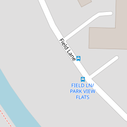
| Field Lane, Litherland, Liverpool | £ 30,000 | BUY | 5 / 10 | 0.10 KM |
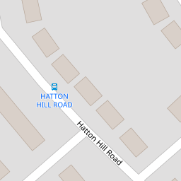
| Hatton Hill Road, Litherland, Liverpool, L21 | £ 285,000 | BUY | Unknown | 0.12 KM |
| Appleton Road, Litherland, Liverpool | £ 165,000 | BUY | 6 / 10 | 0.13 KM |
| Field Lane, Litherland, Liverpool, Merseyside, L21 | £ 144,950 | BUY | 6 / 10 | 0.15 KM |
Nearby Properties
| Address | Price | Distance |
|---|---|---|
| 16 Highfield Road | £ 163,000 | 0.00 KM |
| 17 Highfield Road | £ 118,000 | 0.00 KM |
| 13 Highfield Road | £ 127,500 | 0.00 KM |
| 1 Highfield Road | £ 106,000 | 0.00 KM |
| 8 Highfield Road | £ 123,000 | 0.00 KM |