UN
7 Moss Bank Park
£ 215,000
Description
We don't have a Description for this property.
- Bedrooms
- 3
- Bathrooms
- 0
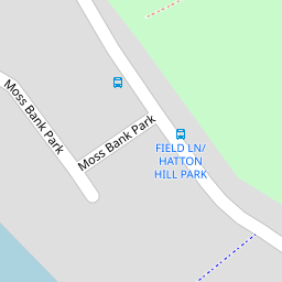
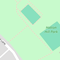


Leaflet © OpenStreetMap contributors
The heatmap indicates the level of crime in the area. The color of the heatmap indicates the crime severity and recency.
Metrics Year-on-Year
- Average area value
- 309,773.00 £Increased by 11.69 %
- Average area rental value
- 1,115.00 £/moIncreased by 23.89 %
- Est rental Yield
- 4.32 %Increased by 11.05 %
- Crime Rate
- 1.00 %Unchanged by 0.00 %
from 277,346.00 £
from 900.00 £/mo
from 3.89 %
from 1.00 %
Nearby Schools
| Name | Type | Ofsted | Distance |
|---|---|---|---|
| Rimrose Hope Cofe Primary School | Voluntary Controlled School | Good | 0.78 KM |
| Our Lady Star Of The Sea Catholic Primary School | Voluntary Aided School | Good | 0.83 KM |
| English Martyrs' Catholic Primary School | Voluntary Aided School | Good | 0.94 KM |
| Hatton Hill Primary School | Community School | Good | 0.97 KM |
| Our Lady Queen Of Peace Catholic Primary School | Voluntary Aided School | Good | 1.15 KM |
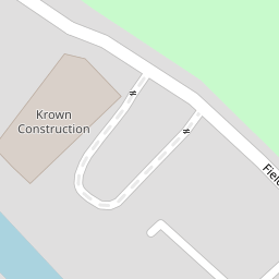
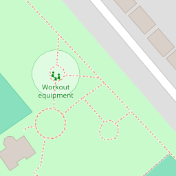
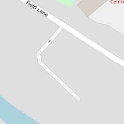
Images
Nearby Streets
| Name | Average Price | Average Sqft | Distance |
|---|---|---|---|
| Oxford Avenue | £ 0 | 0 | 0.00 KM |
| Moss Lane | £ 165,000 | 0 | 0.00 KM |
| Sandown Road | £ 0 | 0 | 0.00 KM |
| New Fort Way | £ 0 | 0 | 0.00 KM |
| Wood Street | £ 145,000 | 0 | 0.00 KM |
Nearby Transport
| Name | NLC | TLC | Distance |
|---|---|---|---|
| Seaforth And Litherland | 2250 | SFL | 0.58 KM |
| Bootle New Strand | 2195 | BNW | 2.26 KM |
| Waterloo (Merseyside) | 2133 | WLO | 2.38 KM |
| Bootle Oriel Road | 2239 | BOT | 2.91 KM |
| Bank Hall | 2238 | BAH | 4.20 KM |
Nearby Listings
| Address | Price | Type | Score | Distance |
|---|---|---|---|---|
| Field Lane, Litherland, Liverpool | £ 475,000 | BUY | 6 / 10 | 0.00 KM |
| Field Lane, Liverpool | £ 99,950 | BUY | 5 / 10 | 0.10 KM |
| Field Lane, Litherland, Liverpool, Merseyside, L21 | £ 144,950 | BUY | 6 / 10 | 0.23 KM |
| Hatton Hill Road, Litherland, Liverpool. | £ 230,000 | BUY | Unknown | 0.25 KM |
| Beach Road, Liverpool, L21 | £ 66,000 | BUY | 5 / 10 | 0.30 KM |
Nearby Properties
| Address | Price | Distance |
|---|---|---|
| 8 Moss Bank Park | £ 225,000 | 0.00 KM |
| 7 Moss Bank Park | £ 215,000 | 0.00 KM |
| 46 Ruthven Road | £ 110,500 | 0.17 KM |
| 5 The Oaks | £ 360,000 | 0.18 KM |
| 42 Ruthven Road | £ 80,000 | 0.18 KM |