UN
11 Kew Road
£ 85,000
Description
We don't have a Description for this property.
- Bedrooms
- 4
- Bathrooms
- 0
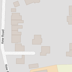

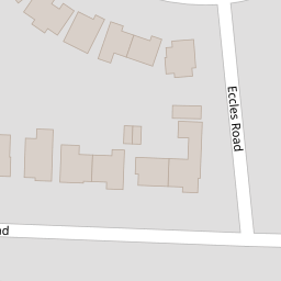
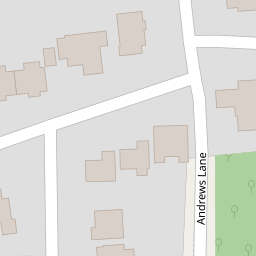
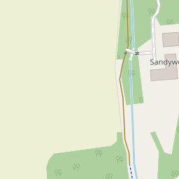

Leaflet © OpenStreetMap contributors
The heatmap indicates the level of crime in the area. The color of the heatmap indicates the crime severity and recency.
Metrics Year-on-Year
- Average area value
- 514,765.00 £Decreased by 11.32 %
- Average area rental value
- 2,050.00 £/moDecreased by 14.30 %
- Est rental Yield
- 4.78 %Decreased by 3.24 %
- Crime Rate
- 6.00 %Unchanged by 0.00 %
from 580,467.00 £
from 2,392.00 £/mo
from 4.94 %
from 6.00 %
Nearby Schools
| Name | Type | Ofsted | Distance |
|---|---|---|---|
| St Luke'S Church Of England Primary School | Voluntary Controlled School | Good | 0.62 KM |
| Range High School | Academy Converter | Requires improvement | 0.89 KM |
| Woodlands Primary School | Community School | Good | 1.18 KM |
| St Jerome'S Catholic Primary School | Voluntary Aided School | Good | 1.70 KM |
| Formby High School | Academy Converter | 1.71 KM |
Images
Nearby Streets
| Name | Average Price | Average Sqft | Distance |
|---|---|---|---|
| Rostron Crescent | £ 0 | 0 | 0.00 KM |
| Osborne Road | £ 275,000 | 0 | 0.00 KM |
| Pinewood Close | £ 300,000 | 0 | 0.00 KM |
| Wheatstone Road | £ 564,338 | 0 | 0.00 KM |
| Mere Road | £ 0 | 0 | 0.00 KM |
Nearby Transport
| Name | NLC | TLC | Distance |
|---|---|---|---|
| Formby | 2354 | FBY | 0.83 KM |
| Freshfield | 2355 | FRE | 2.19 KM |
| Hightown | 2356 | HTO | 2.96 KM |
| Hall Road | 2229 | HLR | 6.02 KM |
| Ainsdale | 2350 | ANS | 7.05 KM |
Nearby Listings
| Address | Price | Type | Score | Distance |
|---|---|---|---|---|
| Kew Road, Formby, Liverpool | £ 230,000 | BUY | 5 / 10 | 0.02 KM |
| Kew Road, Formby | £ 875,000 | BUY | 8 / 10 | 0.06 KM |
| Barton Heys Road, Formby, Liverpool, L37 | £ 625,000 | BUY | 7 / 10 | 0.14 KM |
| Andrews Lane, Formby, Liverpool, Merseyside, L37 | £ 420,000 | BUY | 7 / 10 | 0.22 KM |
| Andrews Lane, Formby, Liverpool, L37 | £ 400,000 | BUY | 7 / 10 | 0.23 KM |
Nearby Properties
| Address | Price | Distance |
|---|---|---|
| 12 Kew Road | £ 430,000 | 0.00 KM |
| 17 Kew Road | £ 297,500 | 0.00 KM |
| 7 Kew Road | £ 240,000 | 0.00 KM |
| 11 Kew Road | £ 85,000 | 0.00 KM |
| 4 Kew Road | £ 285,000 | 0.00 KM |