UN
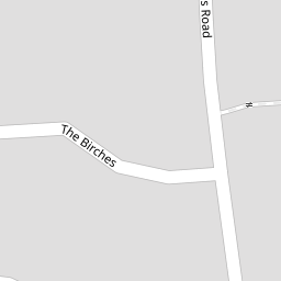
2 The Birches
£ 185,000
Description
We don't have a Description for this property.
- Bedrooms
- 4
- Bathrooms
- 0
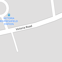
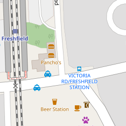

Leaflet © OpenStreetMap contributors
The heatmap indicates the level of crime in the area. The color of the heatmap indicates the crime severity and recency.
Metrics Year-on-Year
- Average area value
- 514,765.00 £Decreased by 11.32 %
- Average area rental value
- 2,050.00 £/moDecreased by 14.30 %
- Est rental Yield
- 4.78 %Decreased by 3.24 %
- Crime Rate
- 11.00 %Unchanged by 0.00 %
from 580,467.00 £
from 2,392.00 £/mo
from 4.94 %
from 11.00 %
Nearby Schools
| Name | Type | Ofsted | Distance |
|---|---|---|---|
| Formby High School | Academy Converter | 0.70 KM | |
| Woodlands Primary School | Community School | Good | 1.43 KM |
| Trinity St Peter'S Cofe Primary School | Voluntary Aided School | Good | 1.63 KM |
| St Luke'S Church Of England Primary School | Voluntary Controlled School | Good | 2.00 KM |
| St Jerome'S Catholic Primary School | Voluntary Aided School | Good | 2.07 KM |
Images
Nearby Streets
| Name | Average Price | Average Sqft | Distance |
|---|---|---|---|
| Queens Avenue | £ 525,000 | 0 | 0.00 KM |
| The Copse | £ 0 | 0 | 0.00 KM |
| Saint Peter's Close | £ 0 | 0 | 0.00 KM |
| Fisherman's Path | £ 1,950,000 | 0 | 0.00 KM |
| Green Lane | £ 0 | 0 | 0.00 KM |
Nearby Transport
| Name | NLC | TLC | Distance |
|---|---|---|---|
| Freshfield | 2355 | FRE | 0.17 KM |
| Formby | 2354 | FBY | 1.47 KM |
| Hightown | 2356 | HTO | 4.86 KM |
| Ainsdale | 2350 | ANS | 4.99 KM |
| Hillside | 2231 | HIL | 7.97 KM |
Nearby Listings
| Address | Price | Type | Score | Distance |
|---|---|---|---|---|
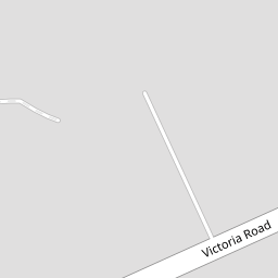
| Victoria Road, Formby, Liverpool, Merseyside, L37 | £ 165,000 | BUY | 5 / 10 | 0.15 KM |
| Freshfield Road, Formby, Liverpool, L37 | £ 2,250,000 | BUY | Unknown | 0.16 KM |
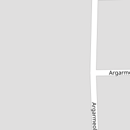
| Argarmeols Road, Formby, Liverpool, L37 | £ 1,795,000 | BUY | 7 / 10 | 0.16 KM |
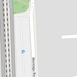
| Montagu Road, Formby, Liverpool, Merseyside, L37 | £ 720,000 | BUY | 6 / 10 | 0.22 KM |
| College Avenue, Formby, L37 | £ 1,200,000 | BUY | 7 / 10 | 0.26 KM |
Nearby Properties
| Address | Price | Distance |
|---|---|---|
| 2 The Birches | £ 185,000 | 0.00 KM |
| 1 The Birches | £ 400,000 | 0.00 KM |
| 11 The Birches | £ 535,000 | 0.00 KM |
| 34 Victoria Road | £ 920,000 | 0.08 KM |
| 40 Victoria Road | £ 465,000 | 0.08 KM |