UN
44 Cowper Street
£ 84,000
Description
We don't have a Description for this property.
- Bedrooms
- 3
- Bathrooms
- 0
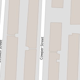
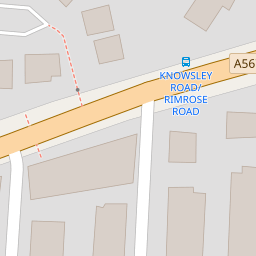

Leaflet © OpenStreetMap contributors
The heatmap indicates the level of crime in the area. The color of the heatmap indicates the crime severity and recency.
Metrics Year-on-Year
- Average area value
- 171,250.00 £Decreased by 5.66 %
- Average area rental value
- 772.00 £/moIncreased by 6.19 %
- Est rental Yield
- 5.41 %Increased by 12.47 %
- Crime Rate
- 12.00 %Unchanged by 0.00 %
from 181,517.00 £
from 727.00 £/mo
from 4.81 %
from 12.00 %
Nearby Schools
| Name | Type | Ofsted | Distance |
|---|---|---|---|
| Our Lady Star Of The Sea Catholic Primary School | Voluntary Aided School | Good | 0.56 KM |
| Seaforth Children'S Centre | Children's Centre | 0.62 KM | |
| Thomas Gray Primary School | Community School | Requires improvement | 0.86 KM |
| All Saints Catholic Primary School | Voluntary Aided School | Good | 0.95 KM |
| Rimrose Hope Cofe Primary School | Voluntary Controlled School | Good | 0.98 KM |
Images
Nearby Streets
| Name | Average Price | Average Sqft | Distance |
|---|---|---|---|
| St. Joans Close | £ 0 | 0 | 0.00 KM |
| Saint Joans Close | £ 185,000 | 0 | 0.00 KM |
| Bibby's Lane | £ 100,000 | 0 | 0.00 KM |
| New Fort Way | £ 0 | 0 | 0.00 KM |
| Talisman Way | £ 65,000 | 0 | 0.00 KM |
Nearby Transport
| Name | NLC | TLC | Distance |
|---|---|---|---|
| Seaforth And Litherland | 2250 | SFL | 0.82 KM |
| Bootle New Strand | 2195 | BNW | 1.31 KM |
| Bootle Oriel Road | 2239 | BOT | 1.72 KM |
| Waterloo (Merseyside) | 2133 | WLO | 2.87 KM |
| Bank Hall | 2238 | BAH | 3.08 KM |
Nearby Listings
| Address | Price | Type | Score | Distance |
|---|---|---|---|---|
| Dryden Street, Bootle, Merseyside, L20 | £ 110,000 | BUY | 5 / 10 | 0.04 KM |
| 57 Dryden Street, Bootle, Merseyside, L20 4RT | £ 68,000 | BUY | 5 / 10 | 0.04 KM |
| 26 Boswell Street, Bootle, Merseyside, L20 4RP | £ 72,000 | BUY | 6 / 10 | 0.07 KM |
| Boswell Street, Bootle | £ 120,000 | BUY | 6 / 10 | 0.07 KM |
| Boswell Street, Bootle, Merseyside, L20 | £ 60,000 | BUY | 5 / 10 | 0.07 KM |
Nearby Properties
| Address | Price | Distance |
|---|---|---|
| 26 Cowper Street | £ 16,500 | 0.00 KM |
| 8 Cowper Street | £ 53,500 | 0.00 KM |
| 62 Cowper Street | £ 91,000 | 0.00 KM |
| 44 Cowper Street | £ 84,000 | 0.00 KM |
| 68 Cowper Street | £ 78,500 | 0.00 KM |