UN
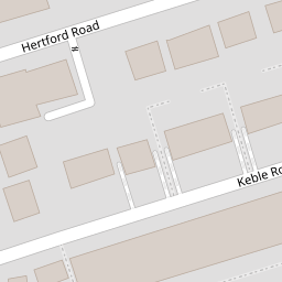
26 Hertford Road
£ 125,000
Description
We don't have a Description for this property.
- Bedrooms
- 3
- Bathrooms
- 0

Leaflet © OpenStreetMap contributors
The heatmap indicates the level of crime in the area. The color of the heatmap indicates the crime severity and recency.
Metrics Year-on-Year
- Average area value
- 171,250.00 £Decreased by 5.66 %
- Average area rental value
- 772.00 £/moIncreased by 6.19 %
- Est rental Yield
- 5.41 %Increased by 12.47 %
- Crime Rate
- 7.00 %Unchanged by 0.00 %
from 181,517.00 £
from 727.00 £/mo
from 4.81 %
from 7.00 %
Nearby Schools
| Name | Type | Ofsted | Distance |
|---|---|---|---|
| Hugh Baird College | Further Education | Good | 0.37 KM |
| Cambridge Nursery School | Local Authority Nursery School | Good | 1.27 KM |
| Christ Church Church Of England Controlled Primary School | Voluntary Controlled School | Good | 1.31 KM |
| Cambridge Children'S Centre | Children's Centre | 1.35 KM | |
| Bedford Primary School | Community School | Good | 1.37 KM |
Images
Nearby Streets
| Name | Average Price | Average Sqft | Distance |
|---|---|---|---|
| Dacre Street | £ 550,000 | 0 | 0.00 KM |
| Derby Road | £ 300,000 | 0 | 0.00 KM |
| Howe Street | £ 0 | 0 | 0.00 KM |
| Litherland Road | £ 0 | 0 | 0.00 KM |
| Church Walk | £ 0 | 0 | 0.00 KM |
Nearby Transport
| Name | NLC | TLC | Distance |
|---|---|---|---|
| Bootle Oriel Road | 2239 | BOT | 0.53 KM |
| Bank Hall | 2238 | BAH | 0.83 KM |
| Bootle New Strand | 2195 | BNW | 1.15 KM |
| Kirkdale | 2245 | KKD | 1.26 KM |
| Sandhills | 2249 | SDL | 1.49 KM |
Nearby Listings
| Address | Price | Type | Score | Distance |
|---|---|---|---|---|
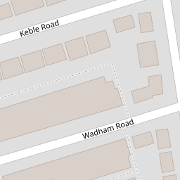
| Wadham Road, Bootle, Merseyside, L20 | £ 80,000 | BUY | 4 / 10 | 0.09 KM |
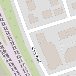
| Kings Road, Bootle | £ 105,000 | BUY | 5 / 10 | 0.11 KM |
| Wadham Road, Bootle, L20 | £ 115,000 | BUY | 5 / 10 | 0.16 KM |
| Keble Road, Bootle, Merseyside, L20 | £ 120,000 | BUY | 5 / 10 | 0.23 KM |
| Keble Road, Bootle, Merseyside, L20 | £ 125,000 | BUY | 7 / 10 | 0.23 KM |
Nearby Properties
| Address | Price | Distance |
|---|---|---|
| 34 Hertford Road | £ 94,000 | 0.00 KM |
| 26 Hertford Road | £ 125,000 | 0.00 KM |
| 27 Keble Road | £ 107,000 | 0.07 KM |
| 8 Keble Road | £ 113,500 | 0.07 KM |
| 23 Keble Road | £ 112,000 | 0.07 KM |