UN
42 Norton Street
£ 10,600
Description
We don't have a Description for this property.
- Bedrooms
- 3
- Bathrooms
- 0
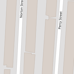
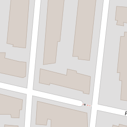

Leaflet © OpenStreetMap contributors
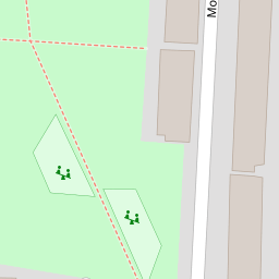
The heatmap indicates the level of crime in the area. The color of the heatmap indicates the crime severity and recency.
Metrics Year-on-Year
- Average area value
- 171,250.00 £Decreased by 5.66 %
- Average area rental value
- 772.00 £/moIncreased by 6.19 %
- Est rental Yield
- 5.41 %Increased by 12.47 %
- Crime Rate
- 11.00 %Unchanged by 0.00 %
from 181,517.00 £
from 727.00 £/mo
from 4.81 %
from 11.00 %
Nearby Schools
| Name | Type | Ofsted | Distance |
|---|---|---|---|
| Thomas Gray Primary School | Community School | Requires improvement | 0.45 KM |
| All Saints Catholic Primary School | Voluntary Aided School | Good | 0.55 KM |
| Our Lady Star Of The Sea Catholic Primary School | Voluntary Aided School | Good | 0.73 KM |
| Lander Road Primary School | Community School | Good | 0.91 KM |
| Seaforth Children'S Centre | Children's Centre | 1.00 KM |
Images
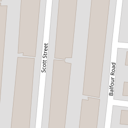
Nearby Streets
| Name | Average Price | Average Sqft | Distance |
|---|---|---|---|
| Balfour Road | £ 0 | 0 | 0.00 KM |
| Bibby's Lane | £ 100,000 | 0 | 0.00 KM |
| Milton Street | £ 0 | 0 | 0.00 KM |
| Chesnut Grove | £ 164,950 | 0 | 0.00 KM |
| Talisman Way | £ 65,000 | 0 | 0.00 KM |
Nearby Transport
| Name | NLC | TLC | Distance |
|---|---|---|---|
| Bootle New Strand | 2195 | BNW | 0.93 KM |
| Seaforth And Litherland | 2250 | SFL | 0.98 KM |
| Bootle Oriel Road | 2239 | BOT | 1.46 KM |
| Bank Hall | 2238 | BAH | 2.79 KM |
| Kirkdale | 2245 | KKD | 2.98 KM |
Nearby Listings
| Address | Price | Type | Score | Distance |
|---|---|---|---|---|
| Norton Street, Bootle, Merseyside, L20 | £ 120,000 | BUY | 6 / 10 | 0.01 KM |
| Norton Street, Bootle | £ 100,000 | BUY | 5 / 10 | 0.01 KM |
| Percy Street, Bootle, Merseyside, L20 | £ 120,000 | BUY | 6 / 10 | 0.04 KM |
| Percy Street, Bootle | £ 118,850 | BUY | 6 / 10 | 0.04 KM |
| Percy Street, Bootle | £ 120,000 | BUY | 6 / 10 | 0.04 KM |
Nearby Properties
| Address | Price | Distance |
|---|---|---|
| 58 Norton Street | £ 60,000 | 0.00 KM |
| 42 Norton Street | £ 10,600 | 0.00 KM |
| 64 Norton Street | £ 55,000 | 0.00 KM |
| 26 Norton Street | £ 63,250 | 0.00 KM |
| 62 Norton Street | £ 80,000 | 0.00 KM |