UN
9 Marc Avenue
£ 225,000
Description
We don't have a Description for this property.
- Bedrooms
- 3
- Bathrooms
- 0


Leaflet © OpenStreetMap contributors
The heatmap indicates the level of crime in the area. The color of the heatmap indicates the crime severity and recency.
Metrics Year-on-Year
- Average area value
- 225,800.00 £Decreased by 11.13 %
- Average area rental value
- 900.00 £/moDecreased by 18.70 %
- Est rental Yield
- 4.78 %Decreased by 8.60 %
- Crime Rate
- 4.00 %Unchanged by 0.00 %
from 254,068.00 £
from 1,107.00 £/mo
from 5.23 %
from 4.00 %
Nearby Schools
| Name | Type | Ofsted | Distance |
|---|---|---|---|
| Melling Primary School | Community School | Good | 0.25 KM |
| Eden Sscc | Children's Centre | 0.90 KM | |
| Westvale Primary School | Community School | Good | 0.90 KM |
| St Michael And All Angels Catholic Primary School | Voluntary Aided School | Outstanding | 1.14 KM |
| Millbrook Community Primary School | Community School | Good | 1.49 KM |
Images
Nearby Streets
| Name | Average Price | Average Sqft | Distance |
|---|---|---|---|
| Mount Road | £ 144,995 | 0 | 0.00 KM |
| Beech Close | £ 215,000 | 0 | 0.00 KM |
| Lognor Road | £ 140,000 | 0 | 0.00 KM |
| Chiltern Drive | £ 0 | 0 | 0.00 KM |
| Poplar Drive | £ 205,000 | 0 | 0.00 KM |
Nearby Transport
| Name | NLC | TLC | Distance |
|---|---|---|---|
| Kirkby (Merseyside) | 2124 | KIR | 0.73 KM |
| Maghull | 2155 | MAG | 3.11 KM |
| Maghull North | 6576 | MNS | 3.26 KM |
| Fazakerley | 2126 | FAZ | 4.02 KM |
| Old Roan | 2258 | ORN | 4.83 KM |
Nearby Listings
| Address | Price | Type | Score | Distance |
|---|---|---|---|---|
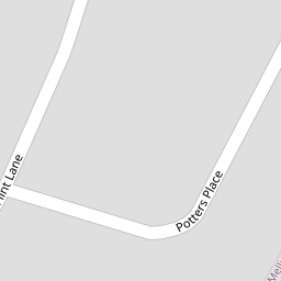
| Flint Lane, Liverpool, L31 | £ 210,000 | BUY | 8 / 10 | 0.09 KM |
| Flint Lane, Melling, L31 | £ 330,000 | BUY | Unknown | 0.11 KM |
| Artisan Drive , Melling, L31 1FJ | £ 325,000 | BUY | 8 / 10 | 0.14 KM |
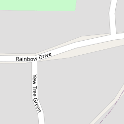
| Yew Tree Green, Melling, L31 | £ 240,000 | BUY | 8 / 10 | 0.14 KM |
| Rainbow Drive, Melling, Liverpool, Merseyside, L31 | £ 82,500 | BUY | 5 / 10 | 0.20 KM |
Nearby Properties
| Address | Price | Distance |
|---|---|---|
| 9 Marc Avenue | £ 225,000 | 0.00 KM |
| 13 Marc Avenue | £ 85,000 | 0.00 KM |
| 21 Marc Avenue | £ 165,000 | 0.00 KM |
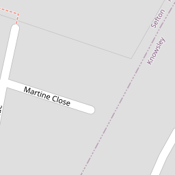
| 3 Martine Close | £ 67,000 | 0.10 KM |
| 2 Martine Close | £ 202,500 | 0.10 KM |