UN
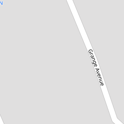
18 Grange Avenue
£ 292,000
Description
We don't have a Description for this property.
- Bedrooms
- 4
- Bathrooms
- 0

Leaflet © OpenStreetMap contributors
The heatmap indicates the level of crime in the area. The color of the heatmap indicates the crime severity and recency.
Metrics Year-on-Year
- Average area value
- 273,000.00 £Increased by 27.13 %
- Average area rental value
- 938.00 £/moDecreased by 8.75 %
- Est rental Yield
- 4.12 %Decreased by 28.22 %
- Crime Rate
- 2.00 %Unchanged by 0.00 %
from 214,740.00 £
from 1,028.00 £/mo
from 5.74 %
from 2.00 %
Nearby Schools
| Name | Type | Ofsted | Distance |
|---|---|---|---|
| Holy Family Catholic Primary School | Voluntary Aided School | Good | 0.29 KM |
| Norwood Primary School | Community School | Good | 0.38 KM |
| St Philip'S Church Of England Primary School | Voluntary Aided School | Good | 1.50 KM |
| Meols Cop High School | Community School | Outstanding | 1.56 KM |
| Arden College | Special Post 16 Institution | Good | 1.62 KM |
Images
Nearby Streets
| Name | Average Price | Average Sqft | Distance |
|---|---|---|---|
| Willow Grove | £ 0 | 0 | 0.00 KM |
| Brompton Road | £ 0 | 0 | 0.00 KM |
| Tithebarn Road | £ 120,000 | 0 | 0.00 KM |
| Darwin Court | £ 0 | 0 | 0.00 KM |
| Manchester Road | £ 177,000 | 0 | 0.00 KM |
Nearby Transport
| Name | NLC | TLC | Distance |
|---|---|---|---|
| Meols Cop | 2357 | MEC | 0.83 KM |
| Southport | 2262 | SOP | 2.31 KM |
| Birkdale | 2352 | BDL | 4.03 KM |
| Hillside | 2231 | HIL | 5.68 KM |
| Bescar Lane | 2351 | BES | 8.02 KM |
Nearby Listings
| Address | Price | Type | Score | Distance |
|---|---|---|---|---|
| Irton Road, Southport | £ 480,000 | BUY | 7 / 10 | 0.08 KM |
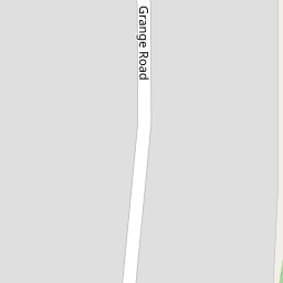
| Grange Road, Southport, PR9 | £ 350,000 | BUY | 7 / 10 | 0.11 KM |
| Irton Road, Southport | £ 525,000 | BUY | 7 / 10 | 0.14 KM |
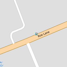
| Roe Lane, Victoria Court, PR9 | £ 270,000 | BUY | 6 / 10 | 0.15 KM |
| Grange Road, Southport | £ 550,000 | BUY | 8 / 10 | 0.15 KM |
Nearby Properties
| Address | Price | Distance |
|---|---|---|
| 1 Grange Avenue | £ 137,000 | 0.00 KM |
| 6 Grange Avenue | £ 290,000 | 0.00 KM |
| 18 Grange Avenue | £ 292,000 | 0.00 KM |
| 10 Grange Avenue | £ 304,000 | 0.00 KM |
| 5 Grange Avenue | £ 245,000 | 0.00 KM |