UN
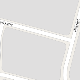
22 Dellfield Lane
£ 215,000
Description
We don't have a Description for this property.
- Bedrooms
- 3
- Bathrooms
- 0

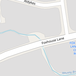

Leaflet © OpenStreetMap contributors
The heatmap indicates the level of crime in the area. The color of the heatmap indicates the crime severity and recency.
Metrics Year-on-Year
- Average area value
- 257,222.00 £Decreased by 8.17 %
- Average area rental value
- 1,100.00 £/moIncreased by 7.32 %
- Est rental Yield
- 5.13 %Increased by 16.86 %
- Crime Rate
- 11.00 %Unchanged by 0.00 %
from 280,098.00 £
from 1,025.00 £/mo
from 4.39 %
from 11.00 %
Nearby Schools
| Name | Type | Ofsted | Distance |
|---|---|---|---|
| Summerhill Primary School | Community School | Good | 0.60 KM |
| Maricourt Catholic High School | Voluntary Aided School | Requires improvement | 1.09 KM |
| Northway Primary School | Community School | Good | 1.19 KM |
| St Andrews Church Of England Primary School, Maghull | Academy Converter | 1.20 KM | |
| Deyes High School | Academy Converter | Good | 1.28 KM |
Images
Nearby Streets
| Name | Average Price | Average Sqft | Distance |
|---|---|---|---|
| Aldykes | £ 209,950 | 0 | 0.00 KM |
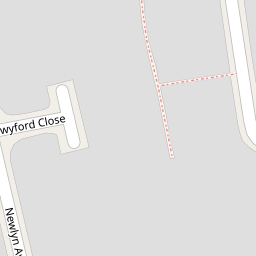
| Twyford Close | £ 0 | 0 | 0.00 KM |
| Laburnum Grove | £ 0 | 0 | 0.00 KM |
| Gadwall Close | £ 0 | 0 | 0.00 KM |
| Spring Gardens | £ 0 | 0 | 0.00 KM |
Nearby Transport
| Name | NLC | TLC | Distance |
|---|---|---|---|
| Maghull | 2155 | MAG | 0.60 KM |
| Maghull North | 6576 | MNS | 1.03 KM |
| Old Roan | 2258 | ORN | 3.66 KM |
| Kirkby (Merseyside) | 2124 | KIR | 4.06 KM |
| Town Green | 2283 | TWN | 4.41 KM |
Nearby Listings
| Address | Price | Type | Score | Distance |
|---|---|---|---|---|
| Dellfield Lane, Maghull, Merseyside, L31 | £ 230,000 | BUY | 6 / 10 | 0.00 KM |
| Dellfield Lane, Maghull , L31 6AS | £ 250,000 | BUY | 7 / 10 | 0.01 KM |
| Dellfield Lane, Maghull, L31 6AS | £ 225,000 | BUY | 6 / 10 | 0.01 KM |
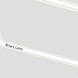
| Briars Lane, Liverpool, Merseyside, L31 | £ 315,000 | BUY | 8 / 10 | 0.06 KM |
| Croftfield, Liverpool, Merseyside, L31 | £ 250,000 | BUY | 7 / 10 | 0.10 KM |
Nearby Properties
| Address | Price | Distance |
|---|---|---|
| 5 Dellfield Lane | £ 149,000 | 0.00 KM |
| 10 Dellfield Lane | £ 130,000 | 0.00 KM |
| 18 Dellfield Lane | £ 145,000 | 0.00 KM |
| 6 Dellfield Lane | £ 170,000 | 0.00 KM |
| 22 Dellfield Lane | £ 215,000 | 0.00 KM |