UN
4 Castle Avenue
£ 117,500
Description
We don't have a Description for this property.
- Bedrooms
- 3
- Bathrooms
- 0
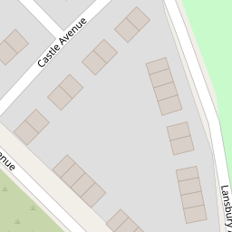

Leaflet © OpenStreetMap contributors
The heatmap indicates the level of crime in the area. The color of the heatmap indicates the crime severity and recency.
Metrics Year-on-Year
- Average area value
- 614,521.00 £Increased by 21.06 %
- Average area rental value
- 1,310.00 £/moDecreased by 19.88 %
- Est rental Yield
- 2.56 %Decreased by 33.85 %
- Crime Rate
- 6.00 %Unchanged by 0.00 %
from 507,618.00 £
from 1,635.00 £/mo
from 3.87 %
from 6.00 %
Nearby Schools
| Name | Type | Ofsted | Distance |
|---|---|---|---|
| Mill Green School | Community Special School | Outstanding | 0.25 KM |
| Lansbury Bridge School | Community Special School | Good | 0.40 KM |
| St Augustine Of Canterbury Catholic High School | Voluntary Aided School | Special Measures | 0.84 KM |
| Parr Children'S Centre | Children's Centre | 0.98 KM | |
| St Cuthbert'S Catholic High School | Voluntary Aided School | Good | 1.02 KM |
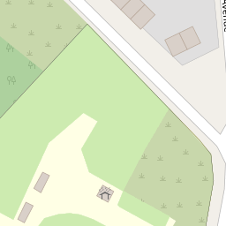
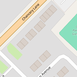
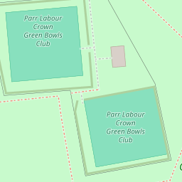
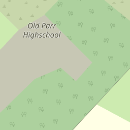
Images
Nearby Streets
| Name | Average Price | Average Sqft | Distance |
|---|---|---|---|
| Delves Close | £ 0 | 0 | 0.00 KM |
| Delta Road | £ 0 | 0 | 0.00 KM |
| Stretton Avenue | £ 0 | 0 | 0.00 KM |
| Moorfoot Road | £ 170,000 | 0 | 0.00 KM |
| Park Road | £ 0 | 0 | 0.00 KM |
Nearby Transport
| Name | NLC | TLC | Distance |
|---|---|---|---|
| St Helens Junction | 2340 | SHJ | 2.08 KM |
| St Helens Central | 2341 | SNH | 2.82 KM |
| Lea Green | 2339 | LEG | 3.56 KM |
| Garswood | 2335 | GSW | 5.45 KM |
| Thatto Heath | 2264 | THH | 6.26 KM |
Nearby Listings
| Address | Price | Type | Score | Distance |
|---|---|---|---|---|
| Chancery Lane, St. Helens, WA9 | £ 160,000 | BUY | Unknown | 0.18 KM |
| 195 Chancery Lane, St. Helens, Merseyside, WA9 1SH | £ 65,000 | BUY | 4 / 10 | 0.19 KM |
| Fry Street, St. Helens, WA9 | £ 100,000 | BUY | 5 / 10 | 0.20 KM |
| Broad Oak Road, St. Helens, Merseyside, WA9 | £ 120,000 | BUY | 6 / 10 | 0.20 KM |
| Broad Oak Road, Parr, St Helens, WA9 2ER | £ 125,000 | BUY | 6 / 10 | 0.23 KM |
Nearby Properties
| Address | Price | Distance |
|---|---|---|
| 4 Castle Avenue | £ 117,500 | 0.00 KM |
| 12 Castle Avenue | £ 61,000 | 0.00 KM |
| 11 Simms Avenue | £ 74,500 | 0.06 KM |
| 174 Chancery Lane | £ 85,000 | 0.16 KM |
| 170 Chancery Lane | £ 64,000 | 0.16 KM |