UN
11 Fleet Lane
£ 40,000
Description
We don't have a Description for this property.
- Bedrooms
- 2
- Bathrooms
- 0
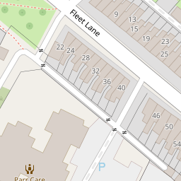
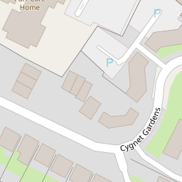
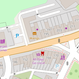
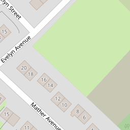
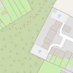

Leaflet © OpenStreetMap contributors
The heatmap indicates the level of crime in the area. The color of the heatmap indicates the crime severity and recency.
Metrics Year-on-Year
- Average area value
- 614,521.00 £Increased by 21.06 %
- Average area rental value
- 1,310.00 £/moDecreased by 19.88 %
- Est rental Yield
- 2.56 %Decreased by 33.85 %
- Crime Rate
- 23.00 %Unchanged by 0.00 %
from 507,618.00 £
from 1,635.00 £/mo
from 3.87 %
from 23.00 %
Nearby Schools
| Name | Type | Ofsted | Distance |
|---|---|---|---|
| Mill Green School | Community Special School | Outstanding | 0.58 KM |
| Allanson Street Primary School | Community School | Good | 0.66 KM |
| Lansbury Bridge School | Community Special School | Good | 0.73 KM |
| St Augustine Of Canterbury Catholic High School | Voluntary Aided School | Special Measures | 1.01 KM |
| St Cuthbert'S Catholic High School | Voluntary Aided School | Good | 1.12 KM |
Images
Nearby Streets
| Name | Average Price | Average Sqft | Distance |
|---|---|---|---|
| Delves Close | £ 0 | 0 | 0.00 KM |
| Park Road | £ 0 | 0 | 0.00 KM |
| Anderton Drive | £ 0 | 0 | 0.00 KM |
| Penny Bridge Grove | £ 0 | 0 | 0.00 KM |
| Morris Street | £ 0 | 0 | 0.00 KM |
Nearby Transport
| Name | NLC | TLC | Distance |
|---|---|---|---|
| St Helens Junction | 2340 | SHJ | 2.04 KM |
| St Helens Central | 2341 | SNH | 2.44 KM |
| Lea Green | 2339 | LEG | 3.18 KM |
| Thatto Heath | 2264 | THH | 5.83 KM |
| Garswood | 2335 | GSW | 5.85 KM |
Nearby Listings
| Address | Price | Type | Score | Distance |
|---|---|---|---|---|
| Fleet Lane, St. Helens, Merseyside, WA9 | £ 175,000 | BUY | Unknown | 0.11 KM |
| Cygnet Gardens, St. Helens, Merseyside, WA9 | £ 170,000 | BUY | 6 / 10 | 0.12 KM |
| Cygnet Gardens, St. Helens, Merseyside, WA9 | £ 85,000 | BUY | 6 / 10 | 0.12 KM |
| Breccia Gardens, St. Helens | £ 79,995 | BUY | Unknown | 0.14 KM |
| Breccia Gardens, St. Helens | £ 87,000 | BUY | 5 / 10 | 0.15 KM |
Nearby Properties
| Address | Price | Distance |
|---|---|---|
| 11 Fleet Lane | £ 40,000 | 0.00 KM |
| 9 Fleet Lane | £ 65,000 | 0.00 KM |
| 37 Fleet Lane | £ 38,000 | 0.00 KM |
| 7a Fleet Lane | £ 113,000 | 0.00 KM |
| 47 Fleet Lane | £ 52,500 | 0.00 KM |