UN
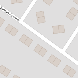
34 Inman Avenue
£ 75,000
Description
We don't have a Description for this property.
- Bedrooms
- 3
- Bathrooms
- 0
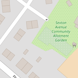

Leaflet © OpenStreetMap contributors
The heatmap indicates the level of crime in the area. The color of the heatmap indicates the crime severity and recency.
Metrics Year-on-Year
- Average area value
- 160,000.00 £Increased by 38.66 %
- Average area rental value
- 858.00 £/moIncreased by 11.86 %
- Est rental Yield
- 6.43 %Decreased by 19.42 %
- Crime Rate
- 15.00 %Unchanged by 0.00 %
from 115,394.00 £
from 767.00 £/mo
from 7.98 %
from 15.00 %
Nearby Schools
| Name | Type | Ofsted | Distance |
|---|---|---|---|
| Holy Spirit Catholic Primary School | Voluntary Aided School | Good | 0.68 KM |
| Broad Oak Community Primary School | Community School | Good | 0.92 KM |
| Pace | Pupil Referral Unit | Good | 1.31 KM |
| Parr Children'S Centre | Children's Centre | 1.41 KM | |
| St Cuthbert'S Catholic High School | Voluntary Aided School | Good | 1.86 KM |
Images
Nearby Streets
| Name | Average Price | Average Sqft | Distance |
|---|---|---|---|
| Moore Avenue | £ 0 | 0 | 0.00 KM |
| Havannah Lane | £ 170,000 | 0 | 0.00 KM |
| Brunswick Street | £ 0 | 0 | 0.00 KM |
| Celandine Way | £ 345,000 | 0 | 0.00 KM |
| Stretton Avenue | £ 0 | 0 | 0.00 KM |
Nearby Transport
| Name | NLC | TLC | Distance |
|---|---|---|---|
| St Helens Junction | 2340 | SHJ | 2.29 KM |
| Garswood | 2335 | GSW | 4.85 KM |
| Lea Green | 2339 | LEG | 5.02 KM |
| St Helens Central | 2341 | SNH | 5.16 KM |
| Earlestown | 2292 | ERL | 5.16 KM |
Nearby Listings
| Address | Price | Type | Score | Distance |
|---|---|---|---|---|
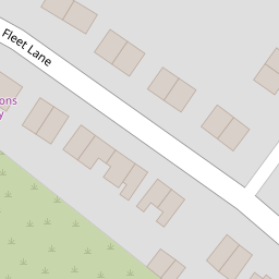
| Fleet Lane, St. Helens, Merseyside, WA9 | £ 110,000 | BUY | 5 / 10 | 0.07 KM |
| Rudd Avenue, St. Helens, Merseyside | £ 150,000 | BUY | 7 / 10 | 0.27 KM |
| Sexton Avenue, St Helens | £ 150,000 | BUY | 5 / 10 | 0.27 KM |
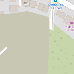
| Derbyshire Hill Road, St Helens, WA9 | £ 109,950 | BUY | 7 / 10 | 0.27 KM |
| Reynolds Avenue, St. Helens, WA9 | £ 175,000 | BUY | 6 / 10 | 0.29 KM |
Nearby Properties
| Address | Price | Distance |
|---|---|---|
| 34 Inman Avenue | £ 75,000 | 0.00 KM |
| 522 Fleet Lane | £ 200,000 | 0.08 KM |
| 468 Fleet Lane | £ 55,000 | 0.08 KM |
| 508 Fleet Lane | £ 120,000 | 0.09 KM |
| 494 Fleet Lane | £ 75,000 | 0.09 KM |