UN
1 Fieldway
£ 170,000
Description
We don't have a Description for this property.
- Bedrooms
- 3
- Bathrooms
- 0


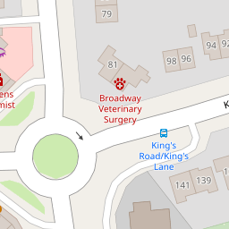

Leaflet © OpenStreetMap contributors
The heatmap indicates the level of crime in the area. The color of the heatmap indicates the crime severity and recency.
Metrics Year-on-Year
- Average area value
- 281,362.00 £Decreased by 5.90 %
- Average area rental value
- 893.00 £/moIncreased by 11.21 %
- Est rental Yield
- 3.81 %Increased by 18.32 %
- Crime Rate
- 1.00 %Unchanged by 0.00 %
from 299,019.00 £
from 803.00 £/mo
from 3.22 %
from 1.00 %
Nearby Schools
| Name | Type | Ofsted | Distance |
|---|---|---|---|
| Prenton High School For Girls | Academy Converter | Good | 0.77 KM |
| Higher Bebington Junior School | Community School | Outstanding | 0.86 KM |
| Bedford Drive Primary School | Community School | Good | 0.91 KM |
| Bebington Children'S Centre | Children's Centre Linked Site | 0.94 KM | |
| Town Lane Infant School | Academy Converter | 0.94 KM |
Images
Nearby Streets
| Name | Average Price | Average Sqft | Distance |
|---|---|---|---|
| Borough Road | £ 425,000 | 0 | 0.00 KM |
| Pennine Road | £ 165,000 | 0 | 0.00 KM |
| Richardson Road | £ 130,000 | 0 | 0.00 KM |
| Victoria Park Road | £ 0 | 0 | 0.00 KM |
| Stuart Road | £ 0 | 0 | 0.00 KM |
Nearby Transport
| Name | NLC | TLC | Distance |
|---|---|---|---|
| Rock Ferry | 2189 | RFY | 2.18 KM |
| Green Lane | 2218 | GNL | 2.65 KM |
| Bebington | 2188 | BEB | 2.68 KM |
| Birkenhead Central | 2217 | BKC | 3.00 KM |
| Conway Park | 3624 | CNP | 3.51 KM |
Nearby Listings
| Address | Price | Type | Score | Distance |
|---|---|---|---|---|
| Broadway, Bebington, CH63 | £ 280,000 | BUY | Unknown | 0.09 KM |
| The Ridgeway, Bebington | £ 330,000 | BUY | 7 / 10 | 0.12 KM |
| Kings Road, Bebington | £ 375,000 | BUY | 7 / 10 | 0.15 KM |
| Kings Road, Higher Bebington, Wirral | £ 350,000 | BUY | 7 / 10 | 0.17 KM |
| Kingsway, Bebington, Wirral, CH63 | £ 150,000 | BUY | 5 / 10 | 0.18 KM |
Nearby Properties
| Address | Price | Distance |
|---|---|---|
| 20 Fieldway | £ 220,000 | 0.00 KM |
| 1 Fieldway | £ 170,000 | 0.00 KM |
| 2 Regents Way | £ 215,000 | 0.06 KM |
| 4 Fieldway | £ 210,000 | 0.07 KM |
| 8 Fieldway | £ 220,000 | 0.07 KM |