UN
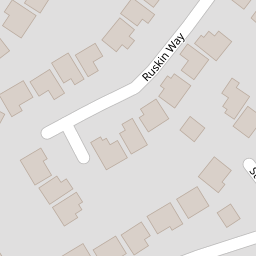
4 Ruskin Way
£ 206,500
Description
We don't have a Description for this property.
- Bedrooms
- 4
- Bathrooms
- 0

Leaflet © OpenStreetMap contributors
The heatmap indicates the level of crime in the area. The color of the heatmap indicates the crime severity and recency.
Metrics Year-on-Year
- Average area value
- 264,994.00 £Decreased by 11.03 %
- Average area rental value
- 797.00 £/moIncreased by 23.95 %
- Est rental Yield
- 3.61 %Increased by 39.38 %
- Crime Rate
- 2.00 %Unchanged by 0.00 %
from 297,853.00 £
from 643.00 £/mo
from 2.59 %
from 2.00 %
Nearby Schools
| Name | Type | Ofsted | Distance |
|---|---|---|---|
| Townfield Primary School | Academy Converter | Good | 0.52 KM |
| Ridgeway High School | Foundation School | Requires improvement | 0.63 KM |
| Woodchurch High School | Academy Converter | Good | 0.84 KM |
| St Michael And All Angels Catholic Primary School | Voluntary Aided School | Good | 0.89 KM |
| Foxfield School | Community Special School | Good | 0.90 KM |
Images
Nearby Streets
| Name | Average Price | Average Sqft | Distance |
|---|---|---|---|
| Stretton Close | £ 250,000 | 0 | 0.00 KM |
| Hargrave Avenue | £ 155,000 | 0 | 0.00 KM |
| Ollerton Close | £ 0 | 0 | 0.00 KM |
| Olivia Close | £ 190,000 | 0 | 0.00 KM |
| Springfield Close | £ 155,000 | 0 | 0.00 KM |
Nearby Transport
| Name | NLC | TLC | Distance |
|---|---|---|---|
| Upton (Merseyside) | 2141 | UPT | 2.02 KM |
| Birkenhead North | 2145 | BKN | 3.26 KM |
| Bidston | 2136 | BID | 3.72 KM |
| Birkenhead Park | 2220 | BKP | 3.94 KM |
| Leasowe | 2237 | LSW | 4.86 KM |
Nearby Listings
| Address | Price | Type | Score | Distance |
|---|---|---|---|---|
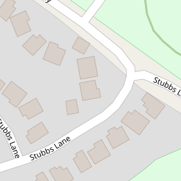
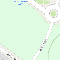
| Stubbs Lane, Noctorum | £ 265,000 | BUY | 8 / 10 | 0.07 KM |
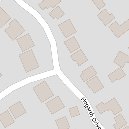
| Hogarth Drive, Prenton | £ 425,000 | BUY | Unknown | 0.15 KM |
| Hogarth Drive, Prenton, Wirral | £ 399,950 | BUY | 7 / 10 | 0.19 KM |
| Hogarth Drive, Prenton, CH43 | £ 365,000 | BUY | 7 / 10 | 0.19 KM |
| Hogarth Drive, Prenton, CH43 | £ 325,000 | BUY | Unknown | 0.19 KM |
Nearby Properties
| Address | Price | Distance |
|---|---|---|
| 17 Ruskin Way | £ 218,000 | 0.00 KM |
| 9 Ruskin Way | £ 205,000 | 0.00 KM |
| 25 Ruskin Way | £ 192,000 | 0.00 KM |
| 20 Ruskin Way | £ 277,500 | 0.00 KM |
| 4 Ruskin Way | £ 206,500 | 0.00 KM |