UN
2 Slatey Road
£ 235,000
Description
We don't have a Description for this property.
- Bedrooms
- 4
- Bathrooms
- 0
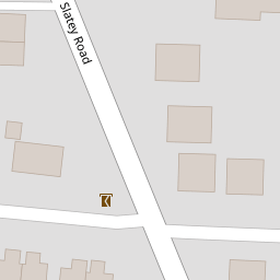

Leaflet © OpenStreetMap contributors
The heatmap indicates the level of crime in the area. The color of the heatmap indicates the crime severity and recency.
Metrics Year-on-Year
- Average area value
- 326,923.00 £Increased by 8.27 %
- Average area rental value
- 756.00 £/moIncreased by 3.42 %
- Est rental Yield
- 2.77 %Decreased by 4.81 %
- Crime Rate
- 6.00 %Unchanged by 0.00 %
from 301,961.00 £
from 731.00 £/mo
from 2.91 %
from 6.00 %
Nearby Schools
| Name | Type | Ofsted | Distance |
|---|---|---|---|
| Birkenhead Park School | Academy Sponsor Led | Requires improvement | 0.15 KM |
| St Anselm'S College | Academy Converter | Good | 0.73 KM |
| Birkenhead High School Academy | Academy Sponsor Led | Outstanding | 0.90 KM |
| Birkenhead Christ Church Cofe Primary School | Voluntary Aided School | Good | 1.08 KM |
| Prenton Preparatory School | Other Independent School | 1.17 KM |
Images
Nearby Streets
| Name | Average Price | Average Sqft | Distance |
|---|---|---|---|
| Devonshire Road | £ 150,000 | 0 | 0.00 KM |
| Devonshire Close | £ 0 | 0 | 0.00 KM |
| Grosvenor Road | £ 290,500 | 0 | 0.00 KM |
| Irvine Way | £ 0 | 0 | 0.00 KM |
| Alexandra Road | £ 0 | 0 | 0.00 KM |
Nearby Transport
| Name | NLC | TLC | Distance |
|---|---|---|---|
| Birkenhead Park | 2220 | BKP | 0.96 KM |
| Conway Park | 3624 | CNP | 2.21 KM |
| Birkenhead Central | 2217 | BKC | 2.38 KM |
| Birkenhead North | 2145 | BKN | 2.38 KM |
| Green Lane | 2218 | GNL | 2.94 KM |
Nearby Listings
| Address | Price | Type | Score | Distance |
|---|---|---|---|---|
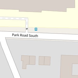
| Park Road South, Prenton, Wirral | £ 125,000 | BUY | 7 / 10 | 0.08 KM |
| Grosvenor Road, Prenton | £ 400,000 | BUY | Unknown | 0.16 KM |
| Park Road South, Prenton, Wirral | £ 120,000 | BUY | 6 / 10 | 0.17 KM |
| Park Road South, Prenton, Wirral | £ 85,000 | BUY | 6 / 10 | 0.17 KM |
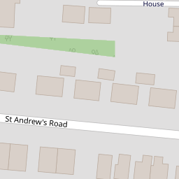
| St. Andrews Road, Prenton, Wirral | £ 595,000 | BUY | 8 / 10 | 0.20 KM |
Nearby Properties
| Address | Price | Distance |
|---|---|---|
| 2 Slatey Road | £ 235,000 | 0.00 KM |
| 11 Slatey Road | £ 21,167 | 0.00 KM |
| 9 Slatey Road | £ 482,000 | 0.00 KM |
| 25 St Hughs Close | £ 120,000 | 0.10 KM |
| 4 St Hughs Close | £ 83,500 | 0.10 KM |