UN
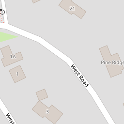
7 West Road
£ 358,000
Description
We don't have a Description for this property.
- Bedrooms
- 4
- Bathrooms
- 0

Leaflet © OpenStreetMap contributors
The heatmap indicates the level of crime in the area. The color of the heatmap indicates the crime severity and recency.
Metrics Year-on-Year
- Average area value
- 264,994.00 £Decreased by 11.03 %
- Average area rental value
- 797.00 £/moIncreased by 23.95 %
- Est rental Yield
- 3.61 %Increased by 39.38 %
- Crime Rate
- 0.00 %
from 297,853.00 £
from 643.00 £/mo
from 2.59 %
from 0.00 %
Nearby Schools
| Name | Type | Ofsted | Distance |
|---|---|---|---|
| Hillside Primary School | Community School | Good | 0.30 KM |
| Ridgeway High School | Foundation School | Requires improvement | 0.79 KM |
| St Peter'S Catholic Primary School | Voluntary Aided School | Good | 0.83 KM |
| Manor Primary School | Community School | Requires improvement | 1.08 KM |
| Woodchurch High School | Academy Converter | Good | 1.36 KM |
Images
Nearby Streets
| Name | Average Price | Average Sqft | Distance |
|---|---|---|---|
| Vyner Close | £ 401,658 | 0 | 0.00 KM |
| Ollerton Close | £ 0 | 0 | 0.00 KM |
| Olivia Close | £ 190,000 | 0 | 0.00 KM |
| Warren Drive | £ 0 | 0 | 0.00 KM |
| Coniston Avenue | £ 180,000 | 0 | 0.00 KM |
Nearby Transport
| Name | NLC | TLC | Distance |
|---|---|---|---|
| Upton (Merseyside) | 2141 | UPT | 1.23 KM |
| Bidston | 2136 | BID | 2.49 KM |
| Birkenhead North | 2145 | BKN | 2.55 KM |
| Leasowe | 2237 | LSW | 3.72 KM |
| Birkenhead Park | 2220 | BKP | 3.91 KM |
Nearby Listings
| Address | Price | Type | Score | Distance |
|---|---|---|---|---|
| West Close, Prenton, Wirral | £ 200,000 | BUY | 6 / 10 | 0.09 KM |
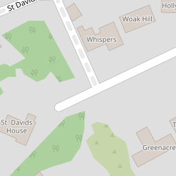
| St. Davids Lane, Noctorum, Merseyside, CH43 | £ 1,400,000 | BUY | Unknown | 0.14 KM |
| St. Davids Lane, Noctorum | £ 275,000 | BUY | 7 / 10 | 0.21 KM |
| Stokesay, Prenton, Wirral | £ 875,000 | BUY | 7 / 10 | 0.25 KM |
| St. Davids Lane, Prenton, Wirral | £ 625,000 | BUY | 6 / 10 | 0.25 KM |
Nearby Properties
| Address | Price | Distance |
|---|---|---|
| 9 West Road | £ 540,000 | 0.00 KM |
| 7 West Road | £ 358,000 | 0.00 KM |
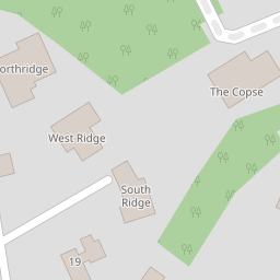
| South Ridge | £ 525,000 | 0.00 KM |
| 31 West Road | £ 452,500 | 0.00 KM |
| 29 West Road | £ 450,000 | 0.00 KM |