UN
53 Ferry Road
£ 220,000
Description
We don't have a Description for this property.
- Bedrooms
- 2
- Bathrooms
- 0
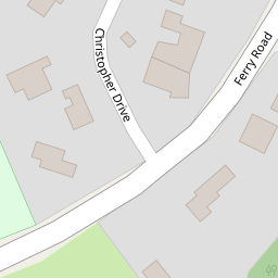
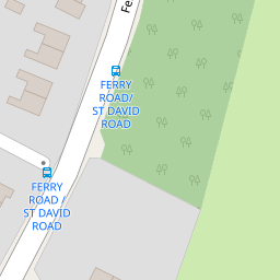

Leaflet © OpenStreetMap contributors
The heatmap indicates the level of crime in the area. The color of the heatmap indicates the crime severity and recency.
Metrics Year-on-Year
- Average area value
- 249,309.00 £Increased by 1.43 %
- Average area rental value
- 1,005.00 £/moIncreased by 22.71 %
- Est rental Yield
- 4.84 %Increased by 21.00 %
- Crime Rate
- 4.00 %Unchanged by 0.00 %
from 245,789.00 £
from 819.00 £/mo
from 4.00 %
from 4.00 %
Nearby Schools
| Name | Type | Ofsted | Distance |
|---|---|---|---|
| Millfields Church Of England (Controlled) Primary School | Voluntary Controlled School | Good | 1.97 KM |
| Eastham Children'S Centre | Children's Centre | 1.97 KM | |
| Heygarth Primary School | Community School | Good | 1.98 KM |
| Christ The King Catholic Primary School | Voluntary Aided School | Good | 2.12 KM |
| Childer Thornton Primary School | Academy Converter | 2.48 KM |
Images
Nearby Streets
| Name | Average Price | Average Sqft | Distance |
|---|---|---|---|
| Harrison Close | £ 279,375 | 0 | 0.00 KM |
| Stretton Close | £ 190,000 | 0 | 0.00 KM |
Nearby Transport
| Name | NLC | TLC | Distance |
|---|---|---|---|
| Eastham Rake | 2128 | ERA | 2.96 KM |
| Hooton | 2193 | HOO | 3.18 KM |
| Bromborough | 2190 | BOM | 3.46 KM |
| Little Sutton | 2156 | LTT | 3.74 KM |
| Bromborough Rake | 2191 | BMR | 3.98 KM |
Nearby Listings
| Address | Price | Type | Score | Distance |
|---|---|---|---|---|
| Bankfields Drive, Eastham, Wirral | £ 200,000 | BUY | 5 / 10 | 0.13 KM |
| St. David Road, Eastham, Wirral | £ 250,000 | BUY | 7 / 10 | 0.14 KM |
| St. David Road, Wirral | £ 230,000 | BUY | 5 / 10 | 0.19 KM |
| St. David Road, Wirral | £ 199,950 | BUY | 6 / 10 | 0.20 KM |
| St Johns Road, Eastham | £ 270,000 | BUY | 7 / 10 | 0.21 KM |
Nearby Properties
| Address | Price | Distance |
|---|---|---|
| 86 Ferry Road | £ 220,000 | 0.00 KM |
| 53 Ferry Road | £ 220,000 | 0.00 KM |
| 1 Christopher Drive | £ 350,000 | 0.07 KM |
| 3 Christopher Drive | £ 320,000 | 0.07 KM |
| 7 Christopher Drive | £ 230,000 | 0.07 KM |