UN
9 Boswell Road
£ 121,500
Description
We don't have a Description for this property.
- Bedrooms
- 3
- Bathrooms
- 0
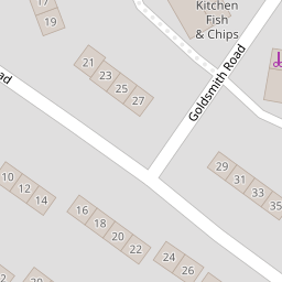
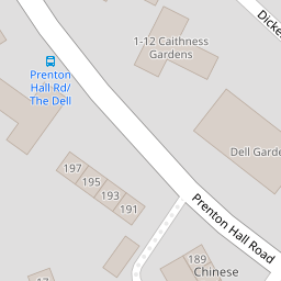
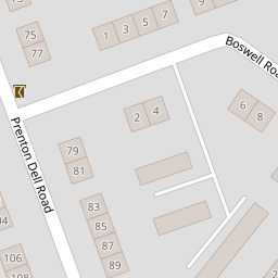
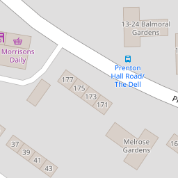

Leaflet © OpenStreetMap contributors
The heatmap indicates the level of crime in the area. The color of the heatmap indicates the crime severity and recency.
Metrics Year-on-Year
- Average area value
- 243,499.00 £Increased by 1.01 %
- Average area rental value
- 850.00 £/moIncreased by 17.73 %
- Est rental Yield
- 4.19 %Increased by 16.71 %
- Crime Rate
- 34.00 %Unchanged by 0.00 %
from 241,056.00 £
from 722.00 £/mo
from 3.59 %
from 34.00 %
Nearby Schools
| Name | Type | Ofsted | Distance |
|---|---|---|---|
| Prenton Children'S Centre | Children's Centre Linked Site | 0.45 KM | |
| Prenton Primary School | Community School | Good | 0.60 KM |
| Townfield Primary School | Academy Converter | Good | 1.35 KM |
| Oxton St Saviour'S Cofe Aided Primary School | Voluntary Aided School | Good | 1.43 KM |
| St Michael And All Angels Catholic Primary School | Voluntary Aided School | Good | 1.86 KM |
Images
Nearby Streets
| Name | Average Price | Average Sqft | Distance |
|---|---|---|---|
| OvertonClose | £ 250,000 | 0 | 0.00 KM |
| Stretton Close | £ 250,000 | 0 | 0.00 KM |
| Bryanston Road | £ 630,000 | 0 | 0.00 KM |
| Hargrave Avenue | £ 155,000 | 0 | 0.00 KM |
| Roman Road | £ 850,000 | 0 | 0.00 KM |
Nearby Transport
| Name | NLC | TLC | Distance |
|---|---|---|---|
| Upton (Merseyside) | 2141 | UPT | 3.67 KM |
| Birkenhead Park | 2220 | BKP | 3.99 KM |
| Birkenhead North | 2145 | BKN | 4.20 KM |
| Heswall | 2138 | HSW | 4.47 KM |
| Birkenhead Central | 2217 | BKC | 4.73 KM |
Nearby Listings
| Address | Price | Type | Score | Distance |
|---|---|---|---|---|
| Boswell Road, PRENTON, CH43 | £ 110,000 | BUY | 4 / 10 | 0.00 KM |
| Boswell Road, PRENTON, CH43 | £ 230,000 | BUY | 7 / 10 | 0.00 KM |
| Boswell Road, Prenton, Wirral | £ 250,000 | BUY | 7 / 10 | 0.01 KM |
| Byron Close,Prenton,CH43 3DL | £ 190,000 | BUY | Unknown | 0.11 KM |
| Prenton Hall Road, Prenton | £ 185,000 | BUY | 5 / 10 | 0.21 KM |
Nearby Properties
| Address | Price | Distance |
|---|---|---|
| 13 Boswell Road | £ 97,000 | 0.00 KM |
| 23 Boswell Road | £ 39,750 | 0.00 KM |
| 33 Boswell Road | £ 105,000 | 0.00 KM |
| 17 Boswell Road | £ 109,000 | 0.00 KM |
| 9 Boswell Road | £ 121,500 | 0.00 KM |