UN
2 Cornwall Drive
£ 270,000
Description
We don't have a Description for this property.
- Bedrooms
- 3
- Bathrooms
- 0

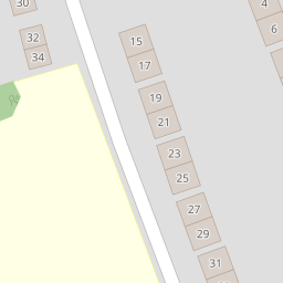

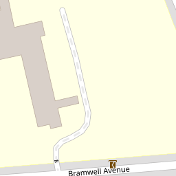


Leaflet © OpenStreetMap contributors
The heatmap indicates the level of crime in the area. The color of the heatmap indicates the crime severity and recency.
Metrics Year-on-Year
- Average area value
- 287,500.00 £Increased by 19.71 %
- Average area rental value
- 850.00 £/moIncreased by 25.00 %
- Est rental Yield
- 3.55 %Increased by 4.41 %
- Crime Rate
- 3.00 %Unchanged by 0.00 %
from 240,163.00 £
from 680.00 £/mo
from 3.40 %
from 3.00 %
Nearby Schools
| Name | Type | Ofsted | Distance |
|---|---|---|---|
| Prenton Primary School | Community School | Good | 0.24 KM |
| Prenton Children'S Centre | Children's Centre Linked Site | 0.35 KM | |
| Oxton St Saviour'S Cofe Aided Primary School | Voluntary Aided School | Good | 0.94 KM |
| Prenton Preparatory School | Other Independent School | 1.40 KM | |
| St Joseph'S Catholic Primary School, Birkenhead | Academy Sponsor Led | 1.52 KM |
Images
Nearby Streets
| Name | Average Price | Average Sqft | Distance |
|---|---|---|---|
| Bryanston Road | £ 630,000 | 0 | 0.00 KM |
| Redwood Close | £ 0 | 0 | 0.00 KM |
| Roman Road | £ 850,000 | 0 | 0.00 KM |
| Mill Hill | £ 0 | 0 | 0.00 KM |
| OvertonClose | £ 250,000 | 0 | 0.00 KM |
Nearby Transport
| Name | NLC | TLC | Distance |
|---|---|---|---|
| Birkenhead Park | 2220 | BKP | 3.47 KM |
| Birkenhead Central | 2217 | BKC | 3.99 KM |
| Birkenhead North | 2145 | BKN | 4.06 KM |
| Green Lane | 2218 | GNL | 4.16 KM |
| Conway Park | 3624 | CNP | 4.17 KM |
Nearby Listings
| Address | Price | Type | Score | Distance |
|---|---|---|---|---|
| Edinburgh Drive, Prenton, Merseyside, CH43 | £ 425,000 | BUY | 8 / 10 | 0.08 KM |
| Queens Drive, Prenton, Merseyside, CH43 | £ 325,000 | BUY | Unknown | 0.17 KM |
| Queens Drive, Prenton | £ 400,000 | BUY | 7 / 10 | 0.17 KM |
| Queens Drive, Prenton | £ 465,000 | BUY | 7 / 10 | 0.18 KM |
| Bramwell Avenue, Prenton, Wirral | £ 425,000 | BUY | Unknown | 0.20 KM |
Nearby Properties
| Address | Price | Distance |
|---|---|---|
| 2 Cornwall Drive | £ 270,000 | 0.00 KM |
| 34 Cornwall Drive | £ 270,000 | 0.00 KM |
| 36 Cornwall Drive | £ 243,500 | 0.00 KM |
| 10 Cornwall Drive | £ 223,000 | 0.02 KM |
| 30 Cornwall Drive | £ 292,500 | 0.02 KM |