UN
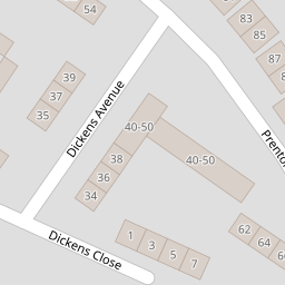
3 Dickens Close
£ 190,000
Description
We don't have a Description for this property.
- Bedrooms
- 3
- Bathrooms
- 0

Leaflet © OpenStreetMap contributors
The heatmap indicates the level of crime in the area. The color of the heatmap indicates the crime severity and recency.
Metrics Year-on-Year
- Average area value
- 243,499.00 £Increased by 1.01 %
- Average area rental value
- 850.00 £/moIncreased by 17.73 %
- Est rental Yield
- 4.19 %Increased by 16.71 %
- Crime Rate
- 17.00 %Unchanged by 0.00 %
from 241,056.00 £
from 722.00 £/mo
from 3.59 %
from 17.00 %
Nearby Schools
| Name | Type | Ofsted | Distance |
|---|---|---|---|
| Prenton Children'S Centre | Children's Centre Linked Site | 0.23 KM | |
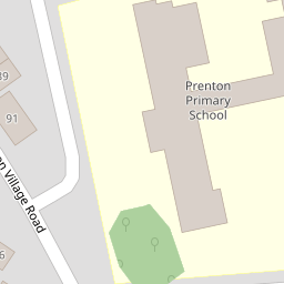
| Prenton Primary School | Community School | Good | 0.30 KM |
| Oxton St Saviour'S Cofe Aided Primary School | Voluntary Aided School | Good | 1.26 KM |
| Townfield Primary School | Academy Converter | Good | 1.52 KM |
| Prenton Preparatory School | Other Independent School | 1.83 KM |
Images
Nearby Streets
| Name | Average Price | Average Sqft | Distance |
|---|---|---|---|
| Bryanston Road | £ 630,000 | 0 | 0.00 KM |
| OvertonClose | £ 250,000 | 0 | 0.00 KM |
| Roman Road | £ 850,000 | 0 | 0.00 KM |
| Mill Hill | £ 0 | 0 | 0.00 KM |
| Stretton Close | £ 250,000 | 0 | 0.00 KM |
Nearby Transport
| Name | NLC | TLC | Distance |
|---|---|---|---|
| Birkenhead Park | 2220 | BKP | 3.83 KM |
| Upton (Merseyside) | 2141 | UPT | 3.90 KM |
| Birkenhead North | 2145 | BKN | 4.20 KM |
| Birkenhead Central | 2217 | BKC | 4.47 KM |
| Heswall | 2138 | HSW | 4.61 KM |
Nearby Listings
| Address | Price | Type | Score | Distance |
|---|---|---|---|---|
| Northwood Road, Prenton | £ 320,000 | BUY | 5 / 10 | 0.16 KM |
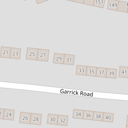
| Garrick Road, Prenton | £ 90,000 | BUY | 5 / 10 | 0.17 KM |
| Northwood Road, Prenton, Wirral | £ 299,950 | BUY | Unknown | 0.23 KM |
| Prenton Hall Road, Prenton, Wirral | £ 270,000 | BUY | 7 / 10 | 0.28 KM |
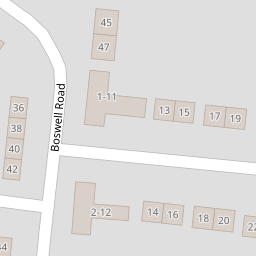
| Boswell Road, Prenton, Wirral | £ 250,000 | BUY | 7 / 10 | 0.30 KM |
Nearby Properties
| Address | Price | Distance |
|---|---|---|
| 3 Dickens Close | £ 190,000 | 0.00 KM |
| 4 Dickens Close | £ 142,500 | 0.00 KM |
| 36 Dickens Avenue | £ 102,500 | 0.06 KM |
| 50 Dickens Avenue | £ 95,000 | 0.06 KM |
| 34 Garrick Road | £ 96,000 | 0.17 KM |