UN
48a Armour Road
£ 227,000
Description
We don't have a Description for this property.
- Bedrooms
- 3
- Bathrooms
- 0
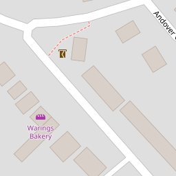

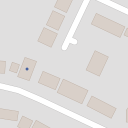


Leaflet © OpenStreetMap contributors
The heatmap indicates the level of crime in the area. The color of the heatmap indicates the crime severity and recency.
Metrics Year-on-Year
- Average area value
- 488,333.00 £Increased by 27.76 %
- Average area rental value
- 1,463.00 £/moIncreased by 8.13 %
- Est rental Yield
- 3.60 %Decreased by 15.29 %
- Crime Rate
- 3.00 %Unchanged by 0.00 %
from 382,231.00 £
from 1,353.00 £/mo
from 4.25 %
from 3.00 %
Nearby Schools
| Name | Type | Ofsted | Distance |
|---|---|---|---|
| Blagrave Nursery School | Local Authority Nursery School | Outstanding | 0.51 KM |
| Park Lane Primary School | Community School | Good | 0.84 KM |
| Meadow Park Academy | Academy Sponsor Led | Good | 1.26 KM |
| Moorlands Primary School | Community School | Good | 1.31 KM |
| Westwood Farm Infant School | Community School | Outstanding | 1.32 KM |
Images
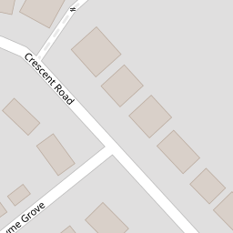
Nearby Streets
| Name | Average Price | Average Sqft | Distance |
|---|---|---|---|
| Ventnor Road | £ 0 | 0 | 0.00 KM |
| Hazelwood Close | £ 457,500 | 0 | 0.00 KM |
| Cadogan Close | £ 0 | 0 | 0.00 KM |
| Hayfield Close | £ 0 | 0 | 0.00 KM |
| Maple Drive | £ 925,000 | 0 | 0.00 KM |
Nearby Transport
| Name | NLC | TLC | Distance |
|---|---|---|---|
| Tilehurst | 3154 | TLH | 1.36 KM |
| Theale | 3153 | THE | 5.20 KM |
| Reading West | 3160 | RDW | 5.40 KM |
| Pangbourne | 3036 | PAN | 6.29 KM |
| Reading | 3149 | RDG | 7.37 KM |
Nearby Listings
| Address | Price | Type | Score | Distance |
|---|---|---|---|---|
| Polsted Road, Tilehurst | £ 365,000 | BUY | 8 / 10 | 0.14 KM |
| Lower Armour Road, Tilehurst, Reading, Berkshire, RG31 | £ 650,000 | BUY | 7 / 10 | 0.14 KM |
| Crescent Road, Tilehurst, Reading | £ 590,000 | BUY | 7 / 10 | 0.16 KM |
| Polsted Road, Tilehurst, Reading, RG31 | £ 400,000 | BUY | Unknown | 0.17 KM |
| Swansea Terrace, Tilehurst, Reading, Berkshire, RG31 | £ 350,000 | BUY | 7 / 10 | 0.22 KM |
Nearby Properties
| Address | Price | Distance |
|---|---|---|
| 40 Armour Road | £ 240,000 | 0.00 KM |
| 48 Armour Road | £ 249,950 | 0.00 KM |
| 20 Armour Road | £ 425,000 | 0.00 KM |
| 48a Armour Road | £ 227,000 | 0.00 KM |
| 46b Armour Road | £ 310,000 | 0.02 KM |