UN
176 The Meadway
£ 324,950
Description
We don't have a Description for this property.
- Bedrooms
- 3
- Bathrooms
- 0
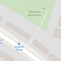
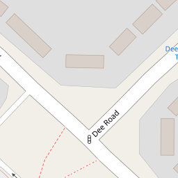

Leaflet © OpenStreetMap contributors
The heatmap indicates the level of crime in the area. The color of the heatmap indicates the crime severity and recency.
Metrics Year-on-Year
- Average area value
- 381,357.00 £Increased by 12.99 %
- Average area rental value
- 1,381.00 £/moIncreased by 5.58 %
- Est rental Yield
- 4.35 %Decreased by 6.45 %
- Crime Rate
- 13.00 %Unchanged by 0.00 %
from 337,500.00 £
from 1,308.00 £/mo
from 4.65 %
from 13.00 %
Nearby Schools
| Name | Type | Ofsted | Distance |
|---|---|---|---|
| St Michael'S Primary School | Community School | Good | 0.34 KM |
| Thames Valley School | Free Schools Special | Good | 0.39 KM |
| Churchend Primary Academy | Academy Converter | 0.45 KM | |
| Moorlands Primary School | Community School | Good | 0.55 KM |
| English Martyrs' Catholic Primary School | Voluntary Aided School | Good | 0.59 KM |
Images
Nearby Streets
| Name | Average Price | Average Sqft | Distance |
|---|---|---|---|
| Chelt Close | £ 0 | 0 | 0.00 KM |
| Holmwood Avenue | £ 0 | 0 | 0.00 KM |
| Park Crescent | £ 375,000 | 0 | 0.00 KM |
| Park Grove | £ 350,000 | 0 | 0.00 KM |
| Fox Hunt Grove | £ 0 | 0 | 0.00 KM |
Nearby Transport
| Name | NLC | TLC | Distance |
|---|---|---|---|
| Tilehurst | 3154 | TLH | 2.17 KM |
| Reading West | 3160 | RDW | 3.88 KM |
| Theale | 3153 | THE | 5.91 KM |
| Reading | 3149 | RDG | 5.92 KM |
| Pangbourne | 3036 | PAN | 8.10 KM |
Nearby Listings
| Address | Price | Type | Score | Distance |
|---|---|---|---|---|
| Wye Close, Tilehurst | £ 385,000 | BUY | 6 / 10 | 0.16 KM |
| Hardwick Road, Tilehurst, Reading, RG30 | £ 435,000 | BUY | 7 / 10 | 0.22 KM |
| Hardwick Road, Tilehurst | £ 465,000 | BUY | 6 / 10 | 0.23 KM |
| Poole Close, Tilehurst, Reading | £ 365,000 | BUY | 7 / 10 | 0.26 KM |
| Tilehurst, Reading, RG30 | £ 450,000 | BUY | 7 / 10 | 0.31 KM |
Nearby Properties
| Address | Price | Distance |
|---|---|---|
| 176 The Meadway | £ 324,950 | 0.00 KM |
| 234 The Meadway | £ 165,000 | 0.00 KM |
| 154 The Meadway | £ 170,000 | 0.00 KM |
| 232 The Meadway | £ 170,000 | 0.00 KM |
| 22 Combe Road | £ 300,000 | 0.11 KM |