UN
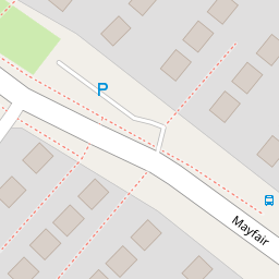
70 Mayfair
£ 282,000
Description
We don't have a Description for this property.
- Bedrooms
- 2
- Bathrooms
- 0
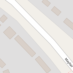
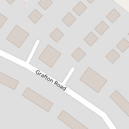

Leaflet © OpenStreetMap contributors
The heatmap indicates the level of crime in the area. The color of the heatmap indicates the crime severity and recency.
Metrics Year-on-Year
- Average area value
- 426,071.00 £Increased by 3.84 %
- Average area rental value
- 1,560.00 £/moIncreased by 1.36 %
- Est rental Yield
- 4.39 %Decreased by 2.44 %
- Crime Rate
- 23.00 %Unchanged by 0.00 %
from 410,323.00 £
from 1,539.00 £/mo
from 4.50 %
from 23.00 %
Nearby Schools
| Name | Type | Ofsted | Distance |
|---|---|---|---|
| Park Lane Primary School | Community School | Good | 0.41 KM |
| Blagrave Nursery School | Local Authority Nursery School | Outstanding | 0.84 KM |
| St Paul'S Catholic Primary School | Voluntary Aided School | Good | 0.97 KM |
| Birch Copse Primary School | Community School | Outstanding | 1.09 KM |
| Tlg Reading | Other Independent School | Good | 1.26 KM |
Images
Nearby Streets
| Name | Average Price | Average Sqft | Distance |
|---|---|---|---|
| Maple Drive | £ 925,000 | 0 | 0.00 KM |
| Ventnor Road | £ 0 | 0 | 0.00 KM |
| Boundary Close | £ 450,000 | 0 | 0.00 KM |
| Hayfield Close | £ 0 | 0 | 0.00 KM |
| Hazelwood Close | £ 457,500 | 0 | 0.00 KM |
Nearby Transport
| Name | NLC | TLC | Distance |
|---|---|---|---|
| Tilehurst | 3154 | TLH | 2.33 KM |
| Theale | 3153 | THE | 4.35 KM |
| Reading West | 3160 | RDW | 5.69 KM |
| Pangbourne | 3036 | PAN | 6.43 KM |
| Reading | 3149 | RDG | 7.73 KM |
Nearby Listings
| Address | Price | Type | Score | Distance |
|---|---|---|---|---|
| Mayfair, Tilehurst, Reading, RG30 | £ 425,000 | BUY | Unknown | 0.00 KM |
| Mayfair, Tilehurst, Reading, Berkshire, RG30 | £ 440,000 | BUY | 7 / 10 | 0.00 KM |
| Grafton Road, Tilehurst, Reading | £ 330,000 | BUY | Unknown | 0.14 KM |
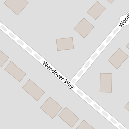
| Wendover Way, Tilehurst, Reading | £ 575,000 | BUY | 7 / 10 | 0.19 KM |
| Halls Road, Tilehurst, Reading, RG30 | £ 585,000 | BUY | Unknown | 0.21 KM |
Nearby Properties
| Address | Price | Distance |
|---|---|---|
| 106 Mayfair | £ 340,000 | 0.00 KM |
| 104 Mayfair | £ 245,000 | 0.00 KM |
| 102 Mayfair | £ 292,500 | 0.00 KM |
| 70 Mayfair | £ 282,000 | 0.00 KM |
| 58 Mayfair | £ 232,000 | 0.00 KM |