UN
14 Walnut Way
£ 372,000
Description
We don't have a Description for this property.
- Bedrooms
- 3
- Bathrooms
- 0
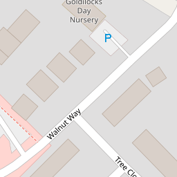
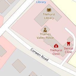
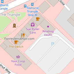

Leaflet © OpenStreetMap contributors
The heatmap indicates the level of crime in the area. The color of the heatmap indicates the crime severity and recency.
Metrics Year-on-Year
- Average area value
- 426,364.00 £Increased by 9.44 %
- Average area rental value
- 1,675.00 £/moIncreased by 16.00 %
- Est rental Yield
- 4.71 %Increased by 5.84 %
- Crime Rate
- 11.00 %Unchanged by 0.00 %
from 389,602.00 £
from 1,444.00 £/mo
from 4.45 %
from 11.00 %
Nearby Schools
| Name | Type | Ofsted | Distance |
|---|---|---|---|
| Blagrave Nursery School | Local Authority Nursery School | Outstanding | 0.40 KM |
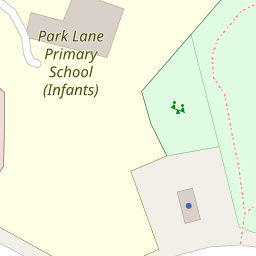
| Park Lane Primary School | Community School | Good | 0.49 KM |
| Moorlands Primary School | Community School | Good | 1.17 KM |
| Birch Copse Primary School | Community School | Outstanding | 1.30 KM |
| St Paul'S Catholic Primary School | Voluntary Aided School | Good | 1.34 KM |
Images
Nearby Streets
| Name | Average Price | Average Sqft | Distance |
|---|---|---|---|
| Ventnor Road | £ 0 | 0 | 0.00 KM |
| Cadogan Close | £ 0 | 0 | 0.00 KM |
| Maple Drive | £ 925,000 | 0 | 0.00 KM |
| Hazelwood Close | £ 457,500 | 0 | 0.00 KM |
| Hayfield Close | £ 0 | 0 | 0.00 KM |
Nearby Transport
| Name | NLC | TLC | Distance |
|---|---|---|---|
| Tilehurst | 3154 | TLH | 1.84 KM |
| Theale | 3153 | THE | 4.80 KM |
| Reading West | 3160 | RDW | 5.43 KM |
| Pangbourne | 3036 | PAN | 6.44 KM |
| Reading | 3149 | RDG | 7.45 KM |
Nearby Listings
| Address | Price | Type | Score | Distance |
|---|---|---|---|---|
| Walnut Way, Tilehurst, Reading | £ 450,000 | BUY | 6 / 10 | 0.08 KM |
| School Road, Tilehurst | £ 450,000 | BUY | 7 / 10 | 0.14 KM |
| Alford Close, Tilehurst, Reading | £ 375,000 | BUY | 6 / 10 | 0.16 KM |
| Alford Close, Tilehurst, Reading, Berkshire, RG30 | £ 365,000 | BUY | Unknown | 0.16 KM |
| Alford Close, Tilehurst, Reading, Berkshire, RG30 | £ 585,000 | BUY | Unknown | 0.20 KM |
Nearby Properties
| Address | Price | Distance |
|---|---|---|
| 14 Walnut Way | £ 372,000 | 0.00 KM |
| 20 Walnut Way | £ 400,000 | 0.01 KM |
| 19 Walnut Way | £ 280,000 | 0.05 KM |
| 25 Walnut Way | £ 330,000 | 0.05 KM |
| 17 Walnut Way | £ 235,000 | 0.05 KM |