UN
5 Church Lane
£ 137,000
Description
We don't have a Description for this property.
- Bedrooms
- 4
- Bathrooms
- 0
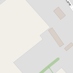
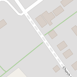


Leaflet © OpenStreetMap contributors
The heatmap indicates the level of crime in the area. The color of the heatmap indicates the crime severity and recency.
Metrics Year-on-Year
- Average area value
- 734,999.00 £Increased by 5.15 %
- Average area rental value
- 2,344.00 £/moDecreased by 10.87 %
- Est rental Yield
- 3.83 %Decreased by 15.27 %
- Crime Rate
- 332.00 %Unchanged by 0.00 %
from 699,000.00 £
from 2,630.00 £/mo
from 4.52 %
from 332.00 %
Nearby Schools
| Name | Type | Ofsted | Distance |
|---|---|---|---|
| Iford And Kingston Church Of England Primary School | Voluntary Controlled School | Good | 0.99 KM |
| Owlswick School | Other Independent Special School | Requires improvement | 2.11 KM |
| Wallands Community Primary And Nursery School | Community School | Requires improvement | 3.50 KM |
| St Pancras Catholic Primary School | Voluntary Aided School | Good | 3.50 KM |
| Western Road Community Primary School | Foundation School | Good | 3.85 KM |
Images
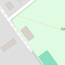
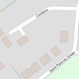
Nearby Streets
| Name | Average Price | Average Sqft | Distance |
|---|---|---|---|
| Saint Pancras Green | £ 0 | 0 | 0.00 KM |
| Swanbourgh Drove | £ 574,500 | 0 | 0.00 KM |
| A27 | £ 397,500 | 0 | 0.00 KM |
Nearby Transport
| Name | NLC | TLC | Distance |
|---|---|---|---|
| Lewes | 5329 | LWS | 4.61 KM |
| Cooksbridge | 5336 | CBR | 5.64 KM |
| Falmer | 5337 | FMR | 6.60 KM |
| Southease | 5339 | SEE | 7.07 KM |
| Plumpton | 5332 | PMP | 8.77 KM |
Nearby Listings
| Address | Price | Type | Score | Distance |
|---|---|---|---|---|
| Cordons, Kingston, Lewes, East Sussex | £ 750,000 | BUY | Unknown | 0.20 KM |
| Church Lane, Kingston, Lewes | £ 1,199,990 | BUY | 8 / 10 | 0.25 KM |
| St. Pancras Green, Kingston BN7 3LH | £ 875,000 | BUY | 6 / 10 | 0.29 KM |
| St. Pancras Green, Kingston, Lewes | £ 895,000 | BUY | 6 / 10 | 0.30 KM |
| The Street, Kingston, BN7 | £ 450,000 | BUY | Unknown | 0.32 KM |
Nearby Properties
| Address | Price | Distance |
|---|---|---|
| 5 Church Lane | £ 137,000 | 0.00 KM |
| White Gates | £ 635,000 | 0.00 KM |
| 12 Cordons | £ 445,000 | 0.16 KM |
| 16 St Pancras Green | £ 650,000 | 0.17 KM |
| 5 St Pancras Green | £ 930,000 | 0.17 KM |