UN
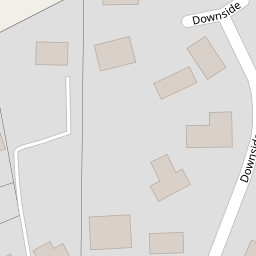
2 Downside
£ 895,000
Description
We don't have a Description for this property.
- Bedrooms
- 5
- Bathrooms
- 0


Leaflet © OpenStreetMap contributors
The heatmap indicates the level of crime in the area. The color of the heatmap indicates the crime severity and recency.
Metrics Year-on-Year
- Average area value
- 617,739.00 £Decreased by 0.36 %
- Average area rental value
- 1,622.00 £/moDecreased by 4.59 %
- Est rental Yield
- 3.15 %Decreased by 4.26 %
- Crime Rate
- 2.00 %Unchanged by 0.00 %
from 619,968.00 £
from 1,700.00 £/mo
from 3.29 %
from 2.00 %
Nearby Schools
| Name | Type | Ofsted | Distance |
|---|---|---|---|
| Wallands Community Primary And Nursery School | Community School | Requires improvement | 0.79 KM |
| St Pancras Catholic Primary School | Voluntary Aided School | Good | 0.83 KM |
| Southover Cofe Primary School | Voluntary Controlled School | Good | 1.46 KM |
| Western Road Community Primary School | Foundation School | Good | 1.46 KM |
| Lewes Old Grammar School | Other Independent School | 1.48 KM |
Images
Nearby Streets
| Name | Average Price | Average Sqft | Distance |
|---|---|---|---|
| The Gallops | £ 789,000 | 0 | 0.00 KM |
| Love Lane | £ 499,950 | 0 | 0.00 KM |
| Downs Close | £ 0 | 0 | 0.00 KM |
| Winterbourne Hollow | £ 660,000 | 0 | 0.00 KM |
| Clare Road | £ 0 | 0 | 0.00 KM |
Nearby Transport
| Name | NLC | TLC | Distance |
|---|---|---|---|
| Lewes | 5329 | LWS | 2.22 KM |
| Cooksbridge | 5336 | CBR | 3.48 KM |
| Southease | 5339 | SEE | 6.32 KM |
| Plumpton | 5332 | PMP | 8.46 KM |
| Falmer | 5337 | FMR | 8.78 KM |
Nearby Listings
| Address | Price | Type | Score | Distance |
|---|---|---|---|---|
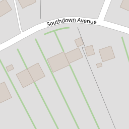
| Southdown Avenue, Lewes, BN7 | £ 1,250,000 | BUY | 7 / 10 | 0.14 KM |
| Hawkenbury Way, Lewes | £ 825,000 | BUY | Unknown | 0.19 KM |
| Hawkenbury Way, Lewes | £ 699,950 | BUY | 7 / 10 | 0.21 KM |
| Brighton Road, Lewes, BN7 | £ 1,200,000 | BUY | 7 / 10 | 0.23 KM |
| Hawkenbury Way, Lewes, BN7 | £ 950,000 | BUY | Unknown | 0.24 KM |
Nearby Properties
| Address | Price | Distance |
|---|---|---|
| 2 Downside | £ 895,000 | 0.00 KM |
| 9 Southdown Avenue | £ 760,000 | 0.07 KM |
| 15 Southdown Avenue | £ 200,000 | 0.07 KM |
| 8 Southdown Avenue | £ 1,075,000 | 0.07 KM |
| 7 Southdown Avenue | £ 557,500 | 0.12 KM |