UN
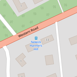
11 Western Road
£ 245,000
Description
We don't have a Description for this property.
- Bedrooms
- 5
- Bathrooms
- 0
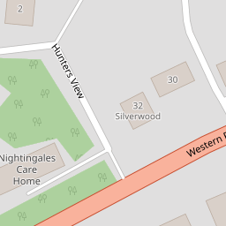
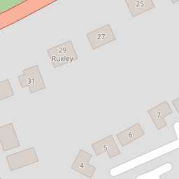

Leaflet © OpenStreetMap contributors
The heatmap indicates the level of crime in the area. The color of the heatmap indicates the crime severity and recency.
Metrics Year-on-Year
- Average area value
- 734,999.00 £Increased by 5.15 %
- Average area rental value
- 2,344.00 £/moDecreased by 10.87 %
- Est rental Yield
- 3.83 %Decreased by 15.27 %
- Crime Rate
- 17.00 %Unchanged by 0.00 %
from 699,000.00 £
from 2,630.00 £/mo
from 4.52 %
from 17.00 %
Nearby Schools
| Name | Type | Ofsted | Distance |
|---|---|---|---|
| Newick Church Of England Primary School | Voluntary Controlled School | Outstanding | 0.60 KM |
| Fletching Church Of England Primary School | Voluntary Controlled School | Good | 3.21 KM |
| Chailey St Peter'S Church Of England Primary School | Voluntary Controlled School | Good | 3.95 KM |
| Chailey Heritage School | Non-maintained Special School | Outstanding | 4.70 KM |
| Barcombe Church Of England Primary School | Voluntary Controlled School | Outstanding | 5.55 KM |
Images
Nearby Streets
| Name | Average Price | Average Sqft | Distance |
|---|---|---|---|
| Chapel Grove | £ 550,000 | 0 | 0.00 KM |
| Western Road | £ 0 | 0 | 0.00 KM |
| Holly Lane | £ 0 | 0 | 0.00 KM |
Nearby Transport
| Name | NLC | TLC | Distance |
|---|---|---|---|
| Cooksbridge | 5336 | CBR | 8.29 KM |
| Uckfield | 5334 | UCK | 9.39 KM |
| Plumpton | 5332 | PMP | 9.49 KM |
Nearby Listings
| Address | Price | Type | Score | Distance |
|---|---|---|---|---|
| Western Road, Newick, Lewes, East Sussex, BN8 | £ 925,000 | BUY | Unknown | 0.01 KM |
| Western Road, Newick | £ 875,000 | BUY | 8 / 10 | 0.08 KM |
| Godden Road, Newick, BN8 | £ 450,000 | BUY | 7 / 10 | 0.17 KM |
| Woodbine Lane, Newick, BN8 | £ 750,000 | BUY | 8 / 10 | 0.22 KM |
| Off Newick Drive, Newick, BN8 | £ 15,000 | BUY | 5 / 10 | 0.25 KM |
Nearby Properties
| Address | Price | Distance |
|---|---|---|
| 30 Western Road | £ 835,000 | 0.00 KM |
| 32 Western Road | £ 1,160,000 | 0.00 KM |
| 11 Western Road | £ 245,000 | 0.00 KM |
| 17a Western Road | £ 405,000 | 0.07 KM |
| 21 Western Road | £ 312,000 | 0.07 KM |