UN
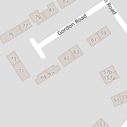
4 Gordon Road
£ 282,000
Description
We don't have a Description for this property.
- Bedrooms
- 3
- Bathrooms
- 0

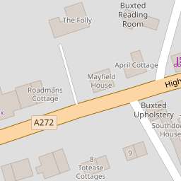
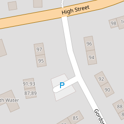
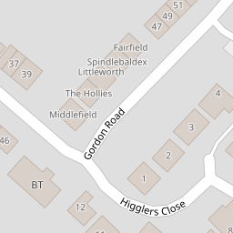

Leaflet © OpenStreetMap contributors
The heatmap indicates the level of crime in the area. The color of the heatmap indicates the crime severity and recency.
Metrics Year-on-Year
- Average area value
- 1,254,259.00 £Increased by 20.96 %
- Average area rental value
- 2,343.00 £/moDecreased by 7.50 %
- Est rental Yield
- 2.24 %Decreased by 23.55 %
- Crime Rate
- 70.00 %Unchanged by 0.00 %
from 1,036,902.00 £
from 2,533.00 £/mo
from 2.93 %
from 70.00 %
Nearby Schools
| Name | Type | Ofsted | Distance |
|---|---|---|---|
| Buxted Cofe Primary School | Voluntary Controlled School | Good | 1.83 KM |
| Framfield Church Of England Primary School | Voluntary Aided School | Good | 2.72 KM |
| High Hurstwood Church Of England Primary School | Voluntary Controlled School | Outstanding | 3.09 KM |
| Manor Primary School | Community School | Good | 3.46 KM |
| Uckfield College | Community School | Good | 3.93 KM |
Images
Nearby Streets
| Name | Average Price | Average Sqft | Distance |
|---|---|---|---|
| Broad Oak | £ 0 | 0 | 0.00 KM |
| St. Raphaels | £ 750,000 | 0 | 0.00 KM |
| Etchingwood Lane | £ 800,000 | 0 | 0.00 KM |
Nearby Transport
| Name | NLC | TLC | Distance |
|---|---|---|---|
| Buxted | 5324 | BXD | 0.38 KM |
| Uckfield | 5334 | UCK | 4.80 KM |
| Crowborough | 5325 | COH | 8.69 KM |
Nearby Listings
| Address | Price | Type | Score | Distance |
|---|---|---|---|---|
| Gordon Road, Uckfield | £ 400,000 | BUY | 7 / 10 | 0.01 KM |
| Gordon Road, Buxted | £ 550,000 | BUY | 5 / 10 | 0.03 KM |
| Gordon Road, Buxted | £ 350,000 | BUY | 6 / 10 | 0.03 KM |
| The Willows, Framfield Road, TN22 | £ 525,000 | BUY | 7 / 10 | 0.08 KM |
| Framfied Road, Buxted, TN22 | £ 765,000 | BUY | 7 / 10 | 0.08 KM |
Nearby Properties
| Address | Price | Distance |
|---|---|---|
| 30 Gordon Road | £ 270,000 | 0.00 KM |
| 4 Gordon Road | £ 282,000 | 0.00 KM |
| 16 Gordon Road | £ 239,950 | 0.00 KM |
| 2 Gordon Road | £ 274,000 | 0.00 KM |
| 6 Gordon Road | £ 342,500 | 0.00 KM |