UN
44 Cottes Way
£ 400,000
Description
We don't have a Description for this property.
- Bedrooms
- 2
- Bathrooms
- 0
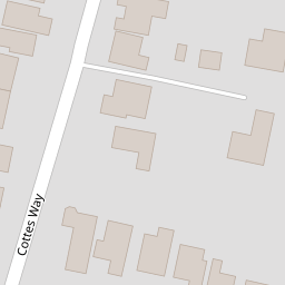

Leaflet © OpenStreetMap contributors
The heatmap indicates the level of crime in the area. The color of the heatmap indicates the crime severity and recency.
Metrics Year-on-Year
- Average area value
- 462,488.00 £Increased by 5.60 %
- Average area rental value
- 2,158.00 £/moIncreased by 43.10 %
- Est rental Yield
- 5.60 %Increased by 35.59 %
- Crime Rate
- 13.00 %Unchanged by 0.00 %
from 437,951.00 £
from 1,508.00 £/mo
from 4.13 %
from 13.00 %
Nearby Schools
| Name | Type | Ofsted | Distance |
|---|---|---|---|
| Crofton Hammond Infant School | Community School | Outstanding | 0.87 KM |
| Crofton Hammond Junior School | Community School | Outstanding | 0.87 KM |
| Crofton Anne Dale Junior School | Community School | Good | 0.90 KM |
| Crofton Anne Dale Infant School | Community School | Outstanding | 0.90 KM |
| Meoncross School | Other Independent School | 2.30 KM |
Images
Nearby Streets
| Name | Average Price | Average Sqft | Distance |
|---|---|---|---|
| Berkeley Close | £ 0 | 0 | 0.00 KM |
| Plover Close | £ 650,000 | 0 | 0.00 KM |
| Midways | £ 414,000 | 0 | 0.00 KM |
| Giblet Ore | £ 0 | 0 | 0.00 KM |
| Fastnet Way | £ 0 | 0 | 0.00 KM |
Nearby Transport
| Name | NLC | TLC | Distance |
|---|---|---|---|
| Fareham | 5900 | FRM | 5.36 KM |
| Swanwick | 5920 | SNW | 7.61 KM |
Nearby Listings
| Address | Price | Type | Score | Distance |
|---|---|---|---|---|
| Cottes Way, Stubbington, Fareham | £ 400,000 | BUY | 7 / 10 | 0.09 KM |
| Cottes Way, Hill Head, Fareham | £ 450,000 | BUY | Unknown | 0.10 KM |
| Crofton Lane, Hill Head, Fareham | £ 685,000 | BUY | 7 / 10 | 0.22 KM |
| Sanross Close, Hill Head, Fareham | £ 310,000 | BUY | 8 / 10 | 0.23 KM |
| Cottes Way, Hill Head | £ 385,000 | BUY | Unknown | 0.26 KM |
Nearby Properties
| Address | Price | Distance |
|---|---|---|
| 38 Cottes Way | £ 405,000 | 0.00 KM |
| 44 Cottes Way | £ 400,000 | 0.00 KM |
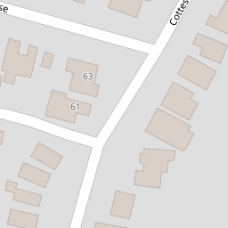
| 61 Cottes Way | £ 320,000 | 0.00 KM |
| 42 Cottes Way | £ 330,000 | 0.00 KM |
| 63 Cottes Way | £ 320,000 | 0.00 KM |