UN
22 Glendale
£ 490,000
Description
We don't have a Description for this property.
- Bedrooms
- 4
- Bathrooms
- 0
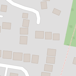
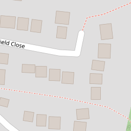
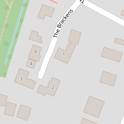
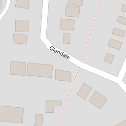


Leaflet © OpenStreetMap contributors
The heatmap indicates the level of crime in the area. The color of the heatmap indicates the crime severity and recency.
Metrics Year-on-Year
- Average area value
- 423,102.00 £Decreased by 10.77 %
- Average area rental value
- 1,150.00 £/moDecreased by 38.67 %
- Est rental Yield
- 3.26 %Decreased by 31.37 %
- Crime Rate
- 3.00 %Unchanged by 0.00 %
from 474,146.00 £
from 1,875.00 £/mo
from 4.75 %
from 3.00 %
Nearby Schools
| Name | Type | Ofsted | Distance |
|---|---|---|---|
| Locks Heath Infant School | Community School | Outstanding | 0.44 KM |
| Locks Heath Junior School | Community School | Good | 0.51 KM |
| St John The Baptist Church Of England Primary School | Voluntary Controlled School | Good | 1.06 KM |
| Park Gate Primary School | Community School | Good | 1.48 KM |
| Lws Academy | Academy Special Converter | Requires improvement | 1.85 KM |
Images
Nearby Streets
| Name | Average Price | Average Sqft | Distance |
|---|---|---|---|
| Lavender Grove | £ 0 | 0 | 0.00 KM |
| Deacon Road | £ 525,000 | 0 | 0.00 KM |
| Centre Way | £ 0 | 0 | 0.00 KM |
| Churchill Close | £ 350,000 | 0 | 0.00 KM |
| Highfields | £ 775,000 | 0 | 0.00 KM |
Nearby Transport
| Name | NLC | TLC | Distance |
|---|---|---|---|
| Swanwick | 5920 | SNW | 2.18 KM |
| Bursledon | 5927 | BUO | 4.93 KM |
| Hamble | 5947 | HME | 6.77 KM |
| Botley | 5894 | BOE | 6.78 KM |
| Netley | 5911 | NTL | 8.23 KM |
Nearby Listings
| Address | Price | Type | Score | Distance |
|---|---|---|---|---|
| Glendale, Locks Heath | £ 525,000 | BUY | 8 / 10 | 0.01 KM |
| Glendale, Locks Heath, Hampshire, SO31 | £ 475,000 | BUY | 7 / 10 | 0.05 KM |
| Lawn Drive, Locks Heath | £ 465,000 | BUY | 6 / 10 | 0.07 KM |
| Field Close, Locks Heath, SO31 | £ 600,000 | BUY | 8 / 10 | 0.18 KM |
| Locks Heath Park Road, Locks Heath | £ 530,000 | BUY | 6 / 10 | 0.18 KM |
Nearby Properties
| Address | Price | Distance |
|---|---|---|
| 10 Glendale | £ 260,000 | 0.00 KM |
| 14 Glendale | £ 238,000 | 0.00 KM |
| 2 Glendale | £ 410,000 | 0.00 KM |
| 28 Glendale | £ 482,500 | 0.00 KM |
| 22 Glendale | £ 490,000 | 0.00 KM |